Alma Bridge to Tzivon with Al-Hashvil, guided by Avi Farjioun
Heavy rain postponed our monthly Israel Trail hike from December to January. Heavy rain the day before our January hike changed the plan again. For safety reasons, we would skip the Lower Nahal Dishon segment, and do the Upper Nahal Dishon segment. As luck would have it, overnight the temperatures dropped to freezing. The rain turned to snow, and we began our hike in Nachal Tzivon with snow on the ground.
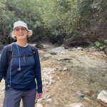
Tia and I spent the night in a guest room on Kibbutz Tzivon, arriving just before snow started falling. I didn’t think it would last long, and was surprised to find snow on my car in the morning. Fortunately, the sun was shining, and temperatures warmed just enough to melt the ice on the roads.

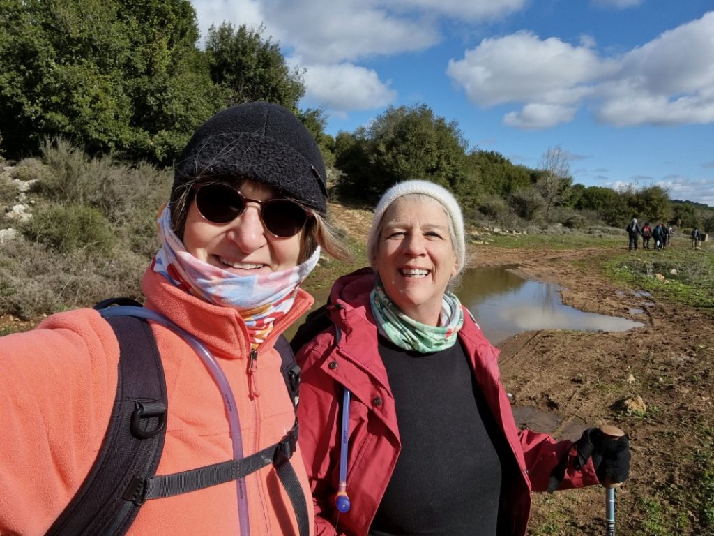
We drove to the meeting point at Alma Bridge, where everyone left their cars, and bussed back to Tzivon. In general, we are hiking the Israel trail from north to south. But the organizers reverse direction on segments when it makes the hiking easier. So the hike on this reversed segment was all downhill.
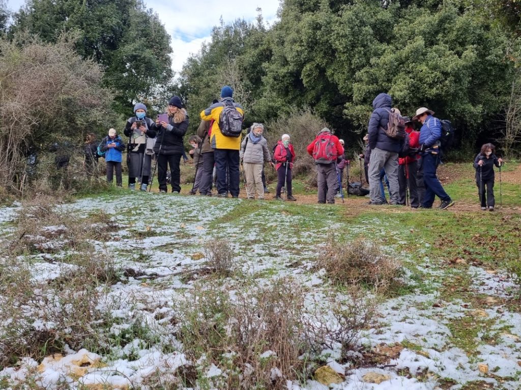
A thin layer of melting snow covered the ground, giving the landscape a rarely seen appearance
It was biting cold, just a few degrees above freezing, as we began the hike. I wore three top layers, a fleece hat, a neck buff, and gloves with open fingers (so I could use my phone-camera). On a few occasions I needed to pull the buff over my mouth and nose. At midday it got warm enough to remove my gloves for a couple hours. But otherwise, it was just the right combination to get me through the day without needing to peel off layers.
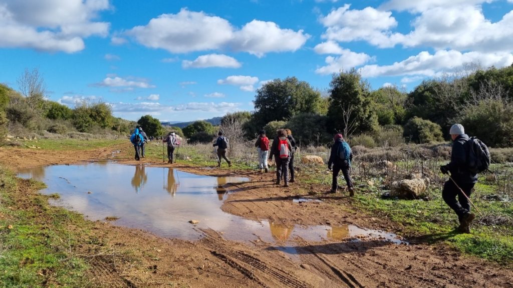
Snow on the ground, puddles on the trail
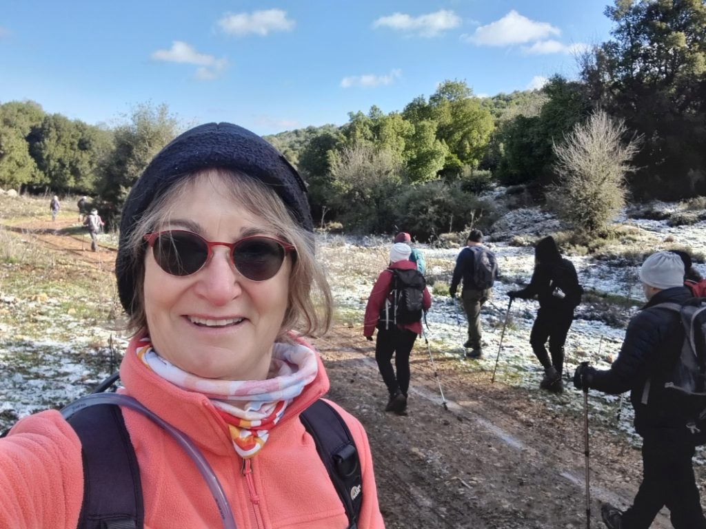
The first couple kilometers in Nahal Tzivon was a wide, open trail. Normally an easy pathway, it was now covered with mud and puddles, meaning we needed to tread carefully. Today was definitely a day for hiking poles.
Nahal Tzivon
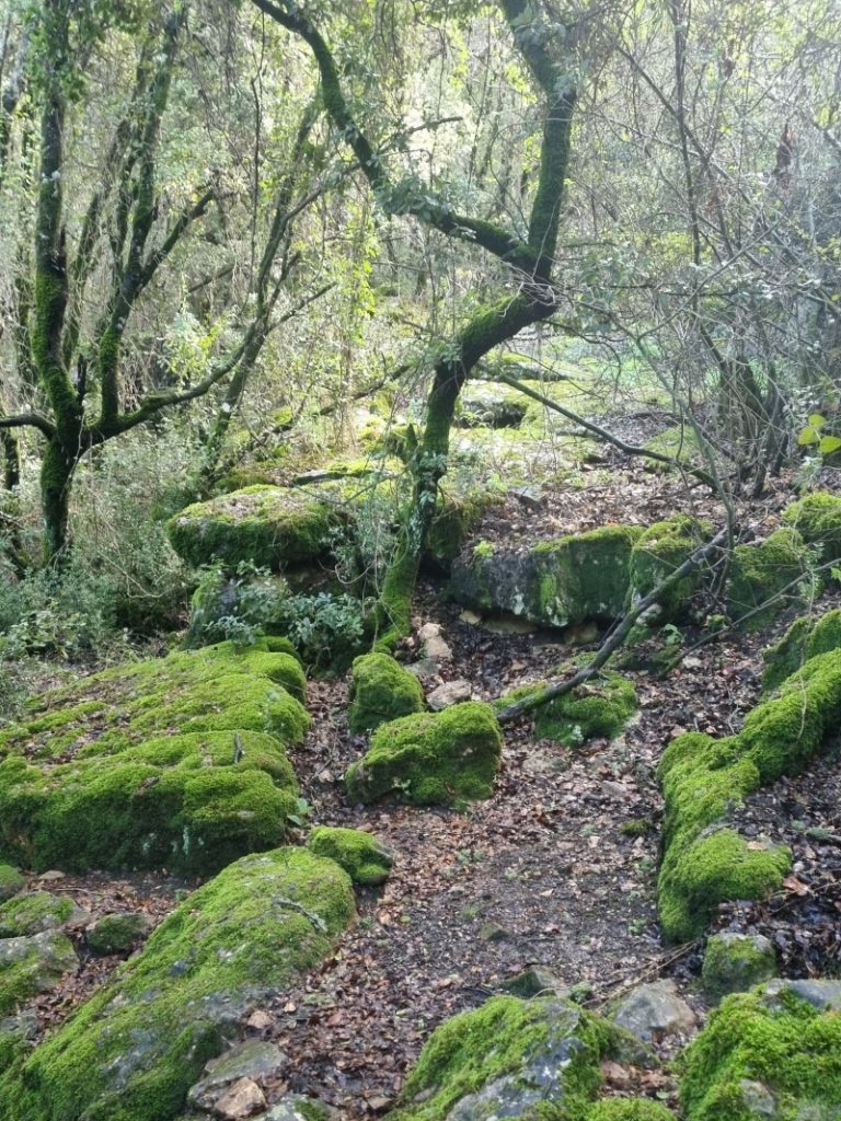
The trail narrows in Nahal Tzivon, and becomes reminiscent of our previous hike in Nahal Kedesh, with moss-covered boulders, exposed tree roots, and thick Mediterranean vegetation. In the depths of the forest, our guide Avi engaged us with a legend explaining why the trees are covered with climbing ivy vines.
Avi noted out how unusual it was to see water flowing in the Tzivon stream bed on a sunny day. Typically, the stream flows only while rain falls, and shortly thereafter. But the melting snow was continuing to feed the stream. It was lovely hearing the gurgling waters as we hiked alongside.
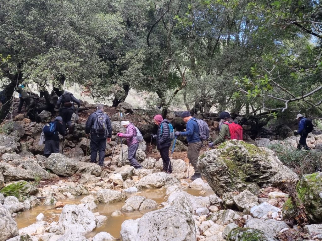
Stepping stones
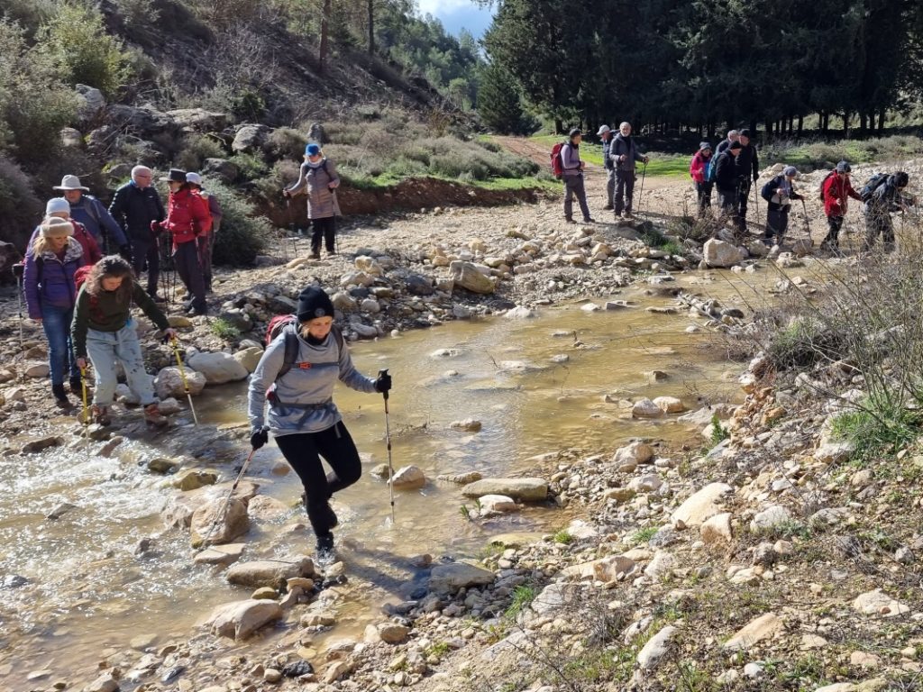
Nahal Tzivon eventually merged into Nahal Dishon, which too was flowing. The middle hours of the hike were spent in a continuous challenge of stream-crossings and stone-stepping maneuvers. My fellow hikers and I became more confident and more adept at crossing the waterways as the day wore on. The air remained chilly all day, and no one wanted to be hiking with wet feet, let alone wet clothes.
Water, water, everywhere
At the point where the trail crosses under Route 899, we couldn’t go through the tunnel. It was full of water and impassable. We instead walked a few hundred meters on the shoulder of the road. Then we scampered across to reconnect with the trail at the Baram 5 pumping station.
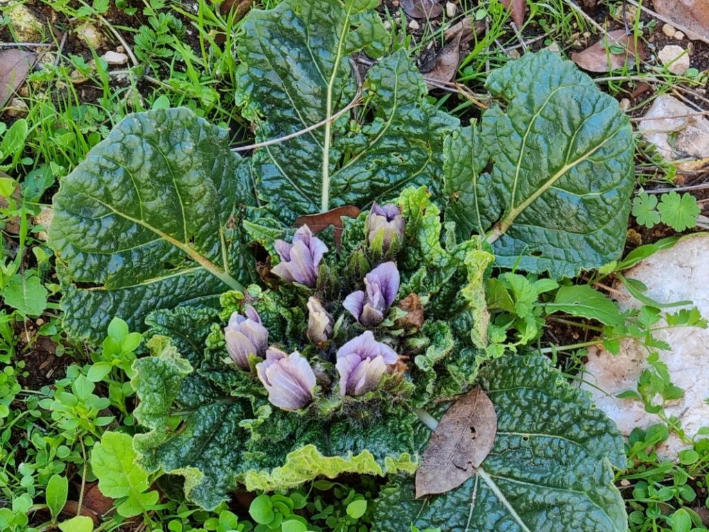
A singular blossom
Another couple of kilometers, and another dash across Route 899. We entered the Nahal Dishon nature reserve and stopped in a clearing for a lunch break. We hoped to warm up in the sun, but a few too many clouds kept hiding it. Just as we resumed hiking, Avi spotted a not-quite-fully flowering mandrake (duda refuey) plant. He told us of its narcotic and aphrodisiac properties. According to shepherds’ tales, when goats and sheep eat the plant, they become crazy. Surprisingly, this was the only flower I saw the entire day. I had expected to see more wildflowers in blossom.
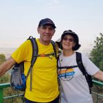
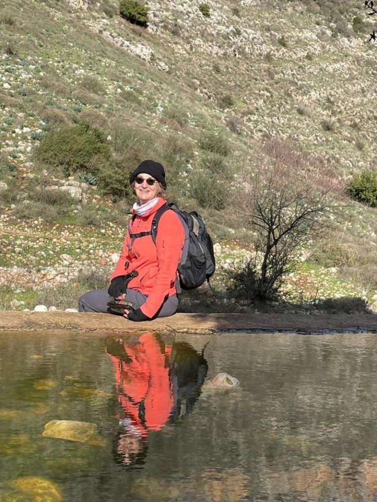
A wonderful photograph
In the final kilometers of the hike, Nahal Dishon widens, and becomes flanked by massive cliffs. Next to the remains of a watering pool, in the shade of a massive oak tree, a fellow hiker captured a wonderful shot.
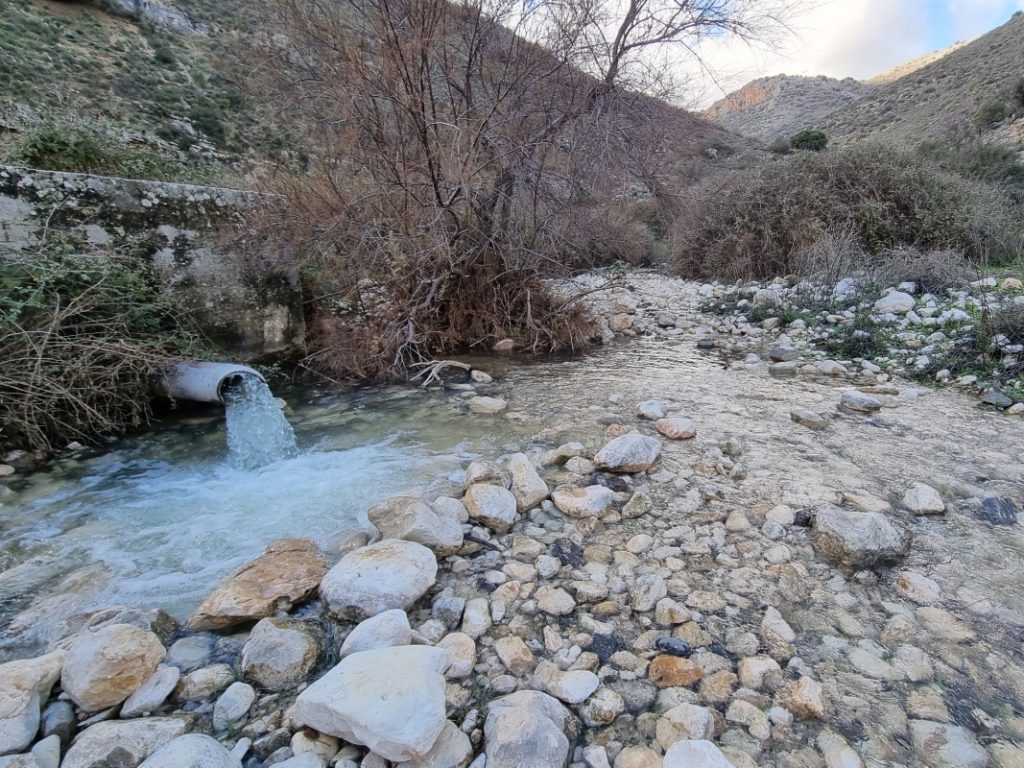
Environmental reclamation – an encouraging sign
The Dishon stream is fed by a number of natural springs. Some we visited and learned about during the hike — Ein Puah, Ein Garger, and Ein Aviv. In recent history the Mekorot company pumped these springs and diverted the water for drinking and agriculture. The result was untold damage to the habitat and wildlife. With alternative water sources now available, the Israel Water Authority is returning the water to nature and rehabilitating the Dishon.
An awesome day
Our 15-kilometer hike ended mid-afternoon back at the Alma Bridge on Route 886.
The extreme weather, the challenge of the terrain, and the glorious landscape, made this Israil Trail hike an unforgettable experience.
The complete set of my photos, in a Flickr album: Israel Trail Hike 2022-1-20