Mount Amasa to Tel Arad with Al-Hashvil
Photo album: Israel Trail Hike 2022-12-29
When I first signed up for the monthly hike on the Israel Trail, I assumed we would do all the segments in consecutive order, from north to south. And such it was, mostly, for our first season. But because of the heat, the hiking season in the south is short. So the organizers slot in a few hikes each year on the southern segments.
Although I join friends once or twice a year on off-road jeep trips in the desert, those excursions typically lack physical activity. So I welcomed the change in terrain and scenery for our first southern adventure on the Israel Trail.
Our hike begain at the northeast edge of Yatir Forest, on a trailhead near the junction of Routes 80 and 316. We needed to hike about two kilometers before reaching the Israel Trail. We passed alongside the remote community of Har Amasa, founded as a kibbutz in the 1980s, but now a cooperative village (מושב שיתופי) according to the commmunity’s website.
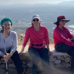
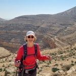
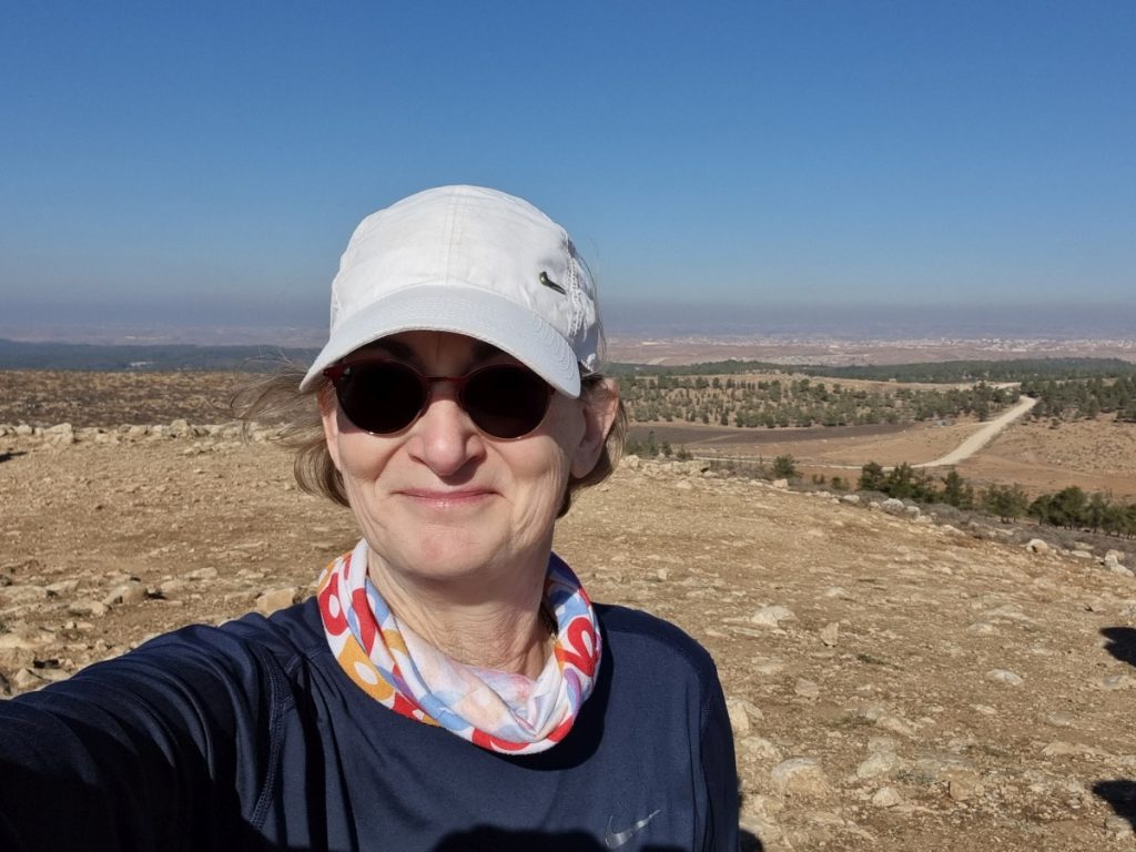
We made our way up Mount Amasa, 860 meters above sea level. The view from the top spans great distances in all directions. Our guide described this location as an intersection of three types of diverse vegetation – Mediterranean, Arabian, and desert (ים תיכוני, ערבתי ומדברי).
The Israel Trail takes the path of an ancient Roman road, which crosses Mount Amasa and winds its way from the desert in the south towards Jerusalem.
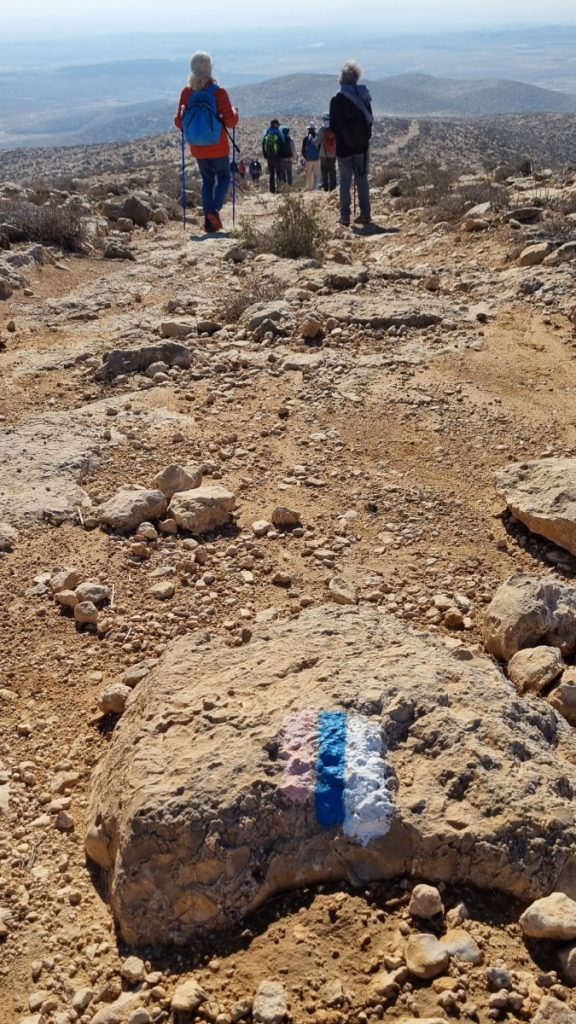
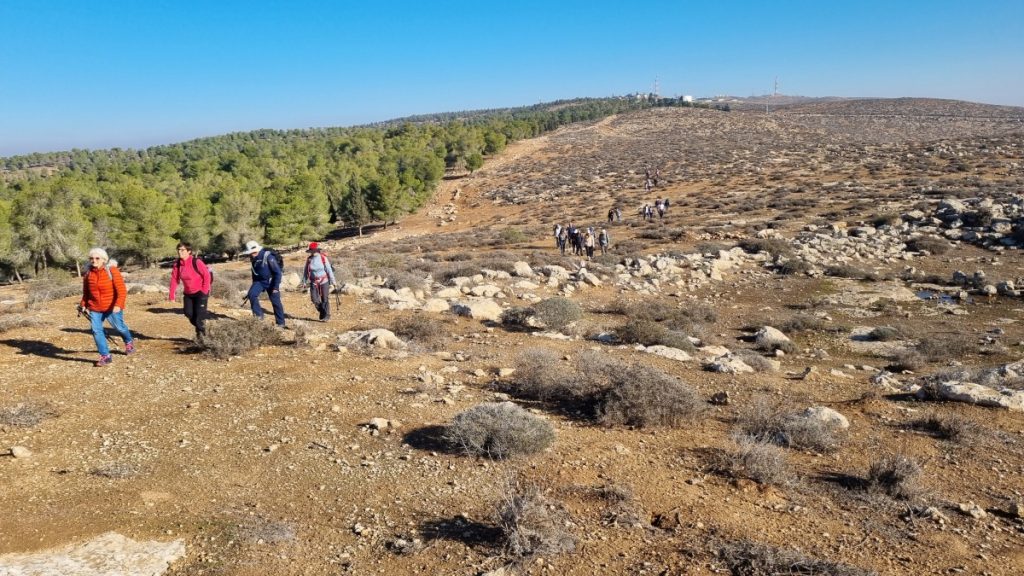
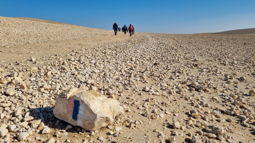
We descended the mountain on the rocky Roman road. When the Roman “stairs” came to an end, the ground softened and hiking became more comfortable. We crossed over a ridge, oppposite a noisy quarry.
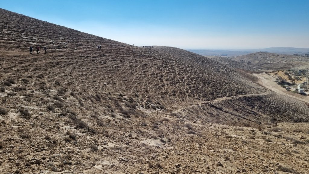
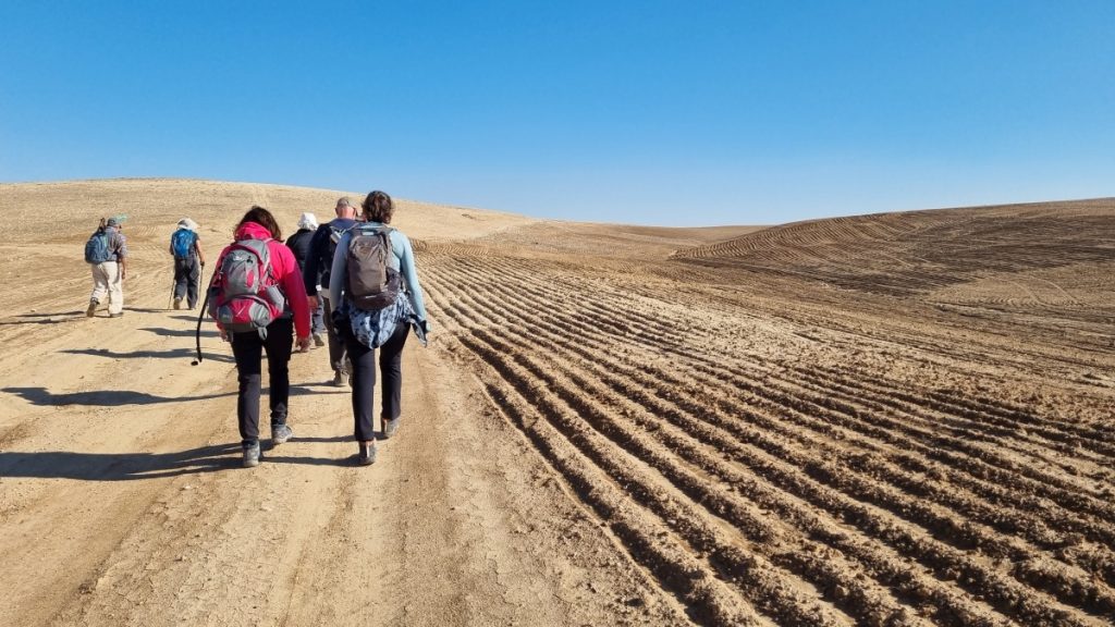
The trail decended into a plain populated with a number of Beduin villages.
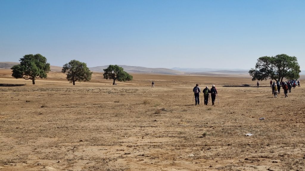
We passed the village of Darijat, the only fellahin (peasant-farmers) community in the Negev. It was established over 200 years ago when fellahin from Mount Hebron purchased the land from local Bedouins.
Outside the village we stopped for lunch beside the four tamarisk trees. With trees so rare in this area, they are marked as a landmark on trail maps.
We passed through the Bedouin village Janabib. When we stopped to listen to our guide, we attracted a small playful gang of kids on their bicycles and scooters.
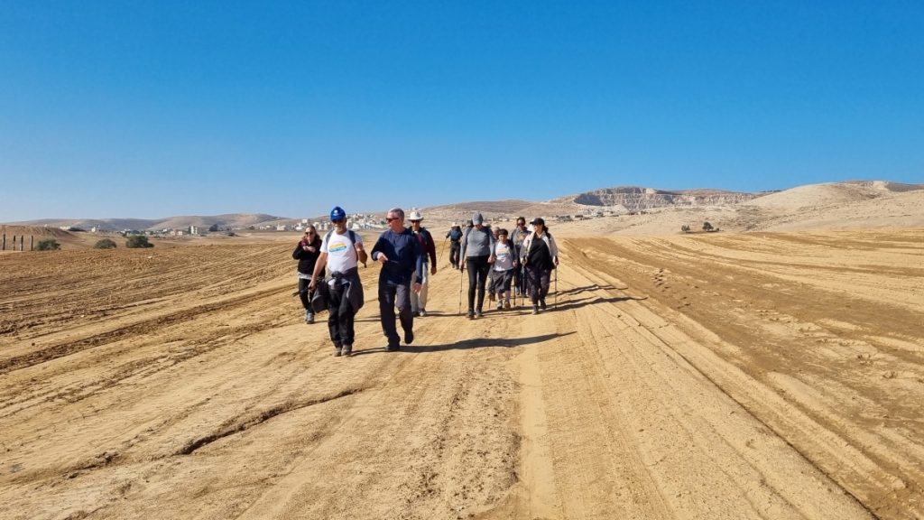
Our guide explained that the bedouin plough the land, but don’t plant it. This is their way of marking and maintaining ownership of the land.
The final kilometers were soft, flat and wide, the best kind of trail for walking and talking.
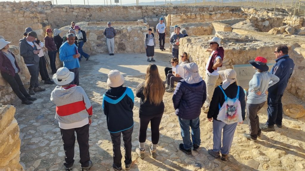
The hike ended at Tel Arad National Park, considered one of the most important archaeological sites in Israel. The park contains the remains of a fortified Canaanite city and fortresses from the time of the Kings of Judah. The fortress contains the remains of a temple from biblical times, built according to the plan of the tabernacle described in the bible.
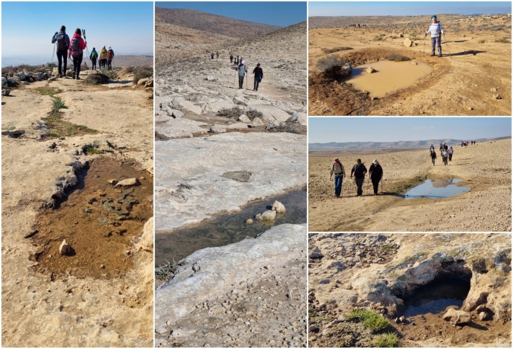
There were scarcely any flowers to photograph on this hike. Thanks to a couple days of rainfall in the preceding week, puddles and muddy patches provided interest along the way. I look forward to green sprouts and colorful blossoms on our next hike, which will start in Arad.
The complete set of my photos in a Flickr album: Israel Trail Hike 2022-12-29