Segment 22: Latrun to Shaar Hagai *
For our second hike on the Israel Trail we were a group of 18. We were missing 7 from the first hike, several of whom were unfortunately suffering from back ailments. The 6 newcomers had expressed interest from the start, but for various reasons had not been on the first hike. (My apologies to the group: we forgot to take a group photo this time. We must remember to do on every hike.)
6:45: Meet-up at gas station near Messilat Zion, regrouping into 4 cars, and shuttle back to Latrun.
7:15: The GPS (”the Garmin”) starts recording. We leave the parking lot next to the restaurant and head north to reconnect with the trail where we left the trail last time. We walk around the east side of the Armored Corps Museum and down to Route 3.
7:33 (1.3 km): We cross over Route 3 and walk briefly on the shoulder of the highway until the trail turns south-east and climbs towards the Latrun Monastery.
7:39 (1.7 km): We pause for a few minutes to peer through a rear gate of the monastery.
7:51 (2.4 km): We continue our climb and reach the first vista point of the day — overlooking the Ayalon Valley from the ruins of the Latrun fortress dating back to the Crusades. Alongside it is a memorial to the 7th Brigade of the Armored Corps, honoring those who fell during Israel’s War of Independence. We linger here a short while.
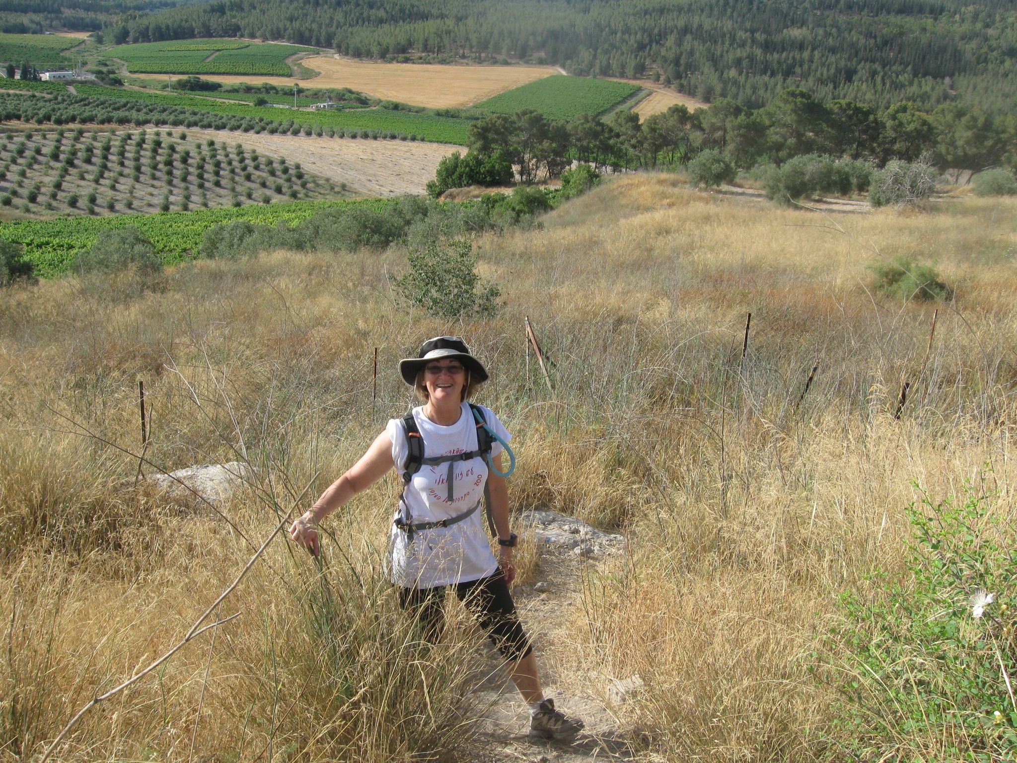
8:03 We then head down through olive groves and across farmland in the Ayalon Valley. We then begin an ascent towards Neve Shalom. Open land is on our right; forest is on our left.
8:37 (4.5 km): A few of us detour into the Neve Shalom cemetery, which contains a handful of graves; we note that Jews and Arabs are buried alongside each other.
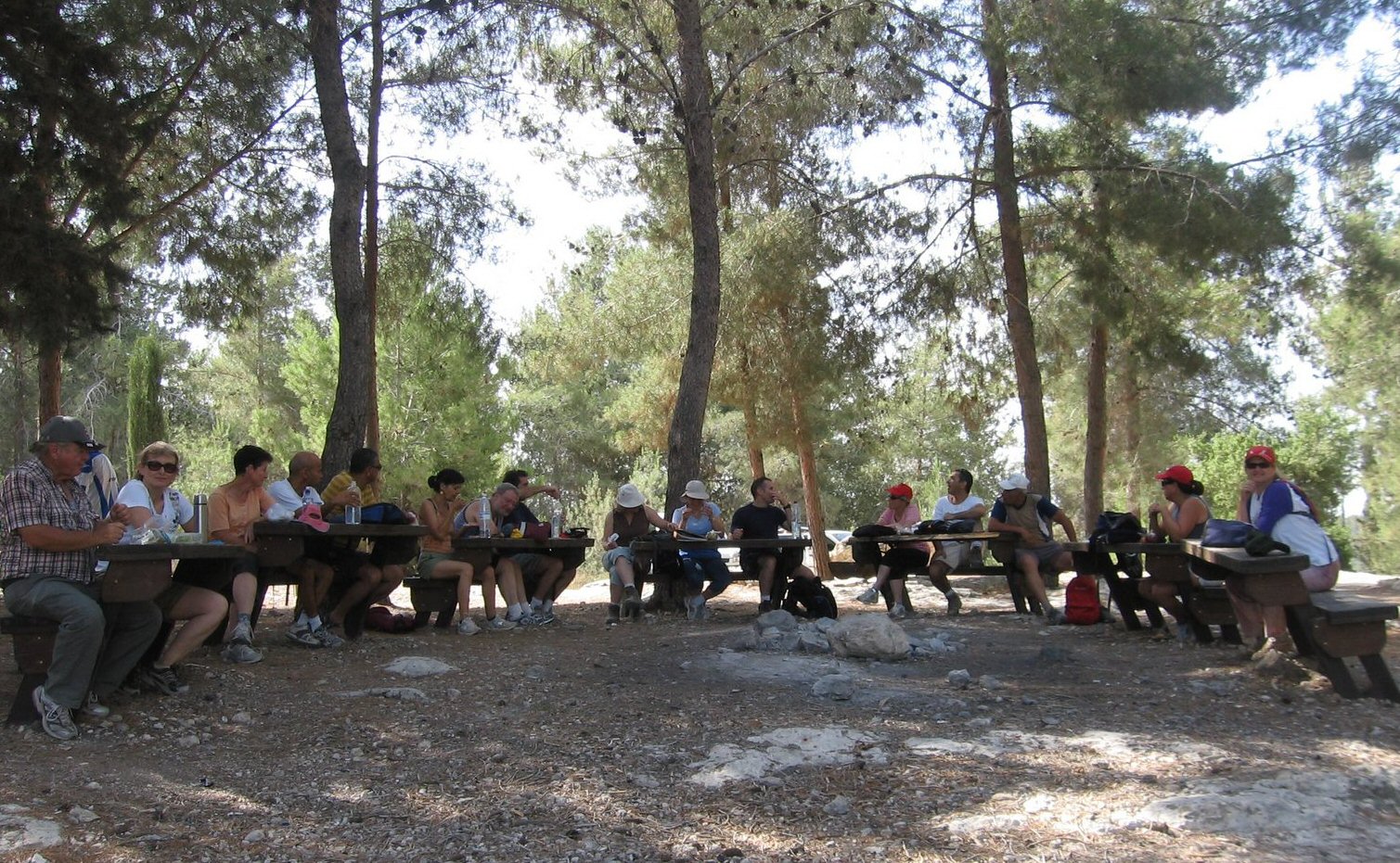
8:50 (5.2 km): Breakfast break is in the forest at one of the highest point on today’s hike, and our second vista point. We stop at a great picnic area — it has small tables with benches on one side arranged in a semi-circle overlooking the valley. There are just enough tables and seats for our entire group. Although spaced a bit far apart, it’s a perfect setup for a getting-to-know-each other session. We go around the circle and give everyone a chance to introduce themselves. Miri surprises us with a declaration that she has fallen in love with my sister-in-law Racheli (whom she has just met this morning!). After having too many coffee options last time, we discover that no one has brought coffee today. We’ll have to make sure that doesn’t happen again.
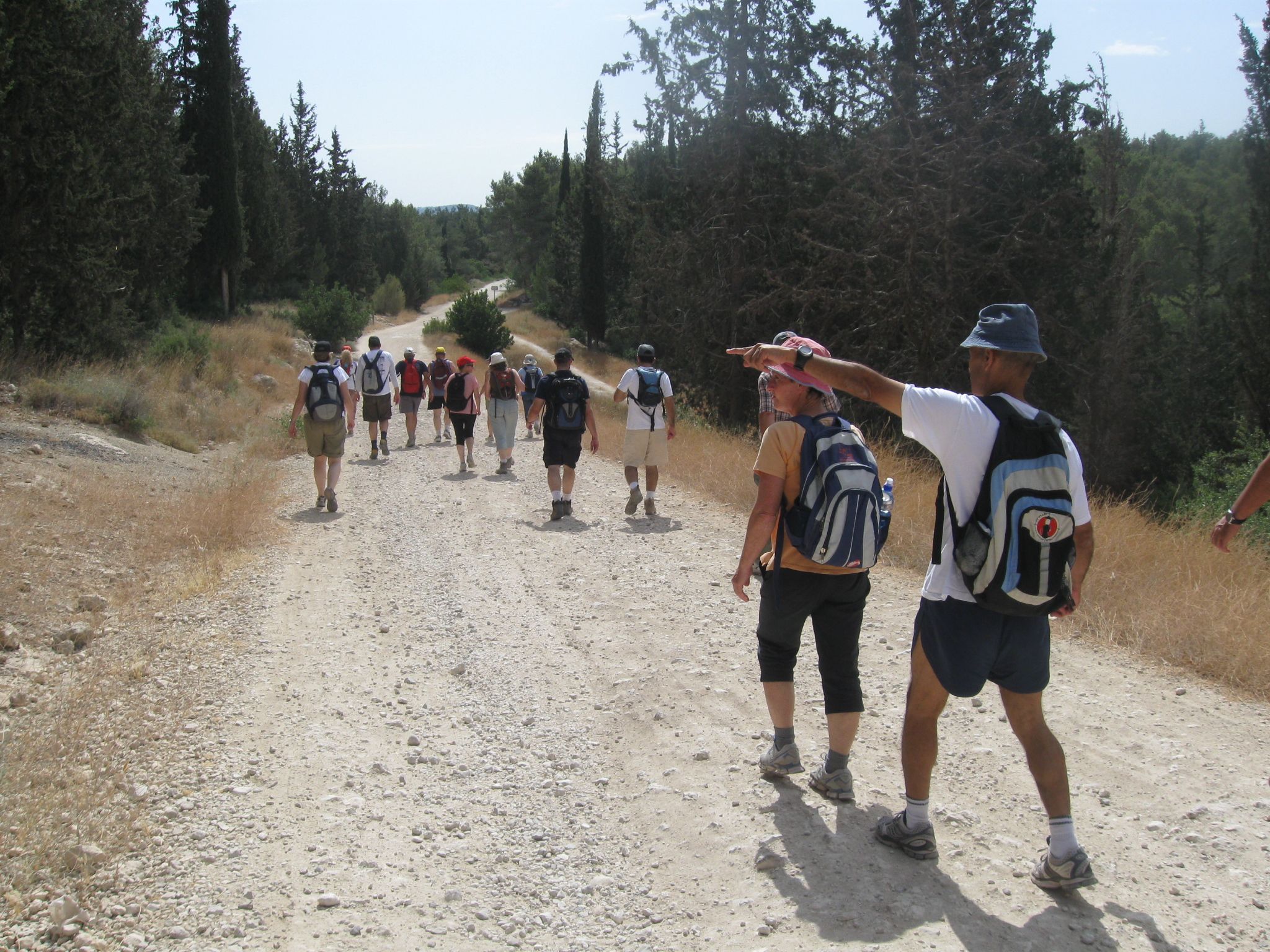
9:30: Back on the trail again. We follow the “Serpentine” trail through the forest and along the Burma Road, pausing briefly at the monuments and and metal sculptures in the form of trucks. We hike continuously for over an hour.
10:35 (10.2 km): Realizing we are near the end of the trail, but have not yet had our music session, we decide to stop for a “ten-o’clock break”. Seeking shade, we detour into an olive grove, and finally find a shady spot back alongside the trail (10.5 km). Someone has found a tortoise and brings it to our party; but it soon waddles away. Singing starts off tentatively, but eventually the music and mood turn mellow.
11:15: On our feet again, back on the trail. It’s gotten hot, and we’re beginning to feel weary.
11:45 (12.6 km): Practically at the end of the trail we spot a lovely picnic area. We send Ron off to get his car and retrieve the cake and wine I have brought in honor of Yuval’s birthday. We hold a small celebration — a terrific ending to a most enjoyable morning of hiking.
A capsule of our hike. My first YouTube video :
12:15 (13.7 km): We are back at the cars, and disperse for home.
Thanks to Varda for bringing the book about the trail, and her friend Shula, who fit right in!
Thanks to brother-in-law Ron for bringing a good map and sharing his knowledge, and especially for running to get the birthday cake so that we could celebrate while still out on the trail.
Final note: we spent 5 hours on the trail. Two notes about that:
- The tracking software for my Garmin reports that for 3 hours I was “stopped”. (I don’t know how it calculates “stopped”, but that’s awfully strange because there’s no way I could hike 13.7 km in 2 hours.)
- This was longer than we spent on the first hike. I think the group has already adopted my goal in this endeavor: to enjoy the camaraderie and the journey itself.
The complete set of photos of our hike on Segment #23 of the Israel Trail.
This was my view of the hike. Use the comment box to add your impressions from the hike, in Hebrew or English.
Hi Lisa, hi everybody!
first of all “kifaq gadol” to Lisa for the great organisation and for starting this whole project in the first place. You are a great crowd and for Shmulik and me it was a sheer pleasure to do this (so far easy) walk with you on Saturday.I really look forward to the next legs (although unfortunately I won’t be able to make it for the two hikes you planned in July). So have a great summer and see you all in September.
Ebba
היי ליסה,
היה ממש כייף, וכל הכבוד על התיעוד המפורט והמעניין. נראה שמתגבשת קבוצה לעניין….
נחמד לגוון הליכה בסגנוןשונה מהניווטים אבל עם כל האנשים המוכרים וגם החדשים לנו. כולכם נהדרים.
להתראות
ורדה.