Mitzpeh Ramon to Khan Saharonim
with Al–Hashvil, guided by Avi Farjoun
Photos: 2026-01-21/22 Israel Trail
Makhtesh Ramon is one of the most amazing places for hiking the Israel Trail. The dramatic landscape constantly changes, as the trail passes through colorful rock layers, dark volcanic formations, towering cliffs, wide gravel valleys, and narrow canyons. The area also preserves the remains of ancient Nabatean trade routes. A number of highlights marked my two-day hike on the trail.
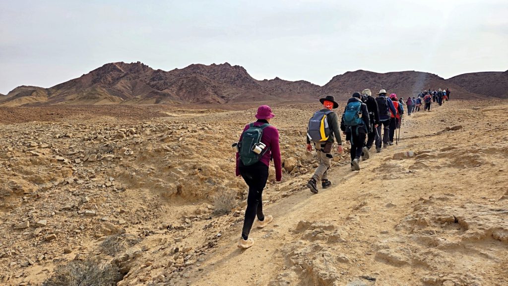
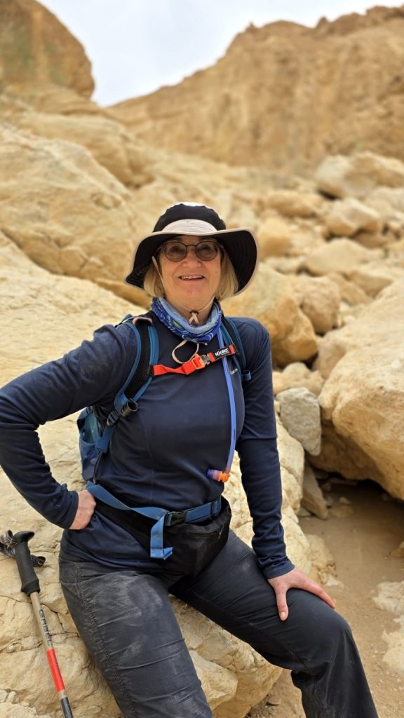
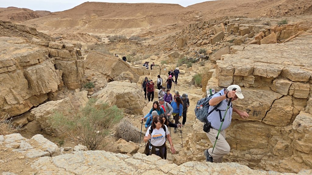
Attrition of members over the past seasons has reduced our Brosh group to a hard core of about two-dozen hikers. On previous two-day hikes, we shared hotel facilities and transportation with the Segalit hiking group, but hiked in separate groups. This time, however, Avi guided us in one combined group. Hence, the large number of hikers in my photos this time.
Day 1
Mitzpeh Ramon to Ammonite Wall (Highway 40)
Heading south, the Israel Trail leaves Mitzpeh Ramon in a big loop. According to guide Avi, this is a new extension, which makes it easier for hikers to access the SPNI youth hostel. In his usual fashion, Avi skipped this loop, and led us down into Makhtesh Ramon by way of the original, more direct route.
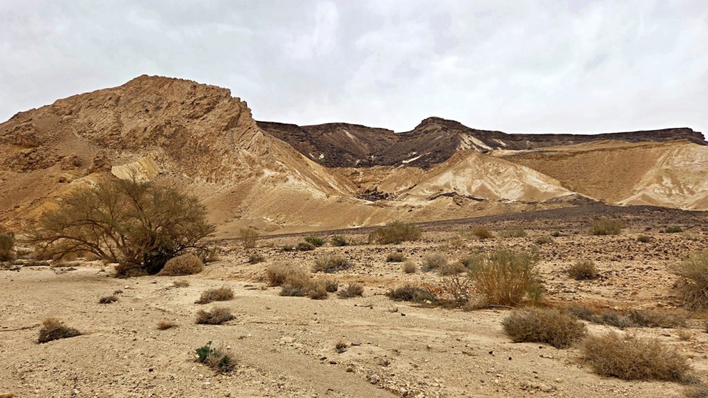
Even on this cloudy and overcast day, the contrast of colors is remarkable in the black volcanic and orange sandstone formations.
It was a mid-winter, chilly day. It took us a while to warm up.
Basalt prism wall. This basalt prism wall was formed when hot lava cooled and cracked into geometric patterns. Over millions of years, wind and water eroded the columns, giving them this unique form.
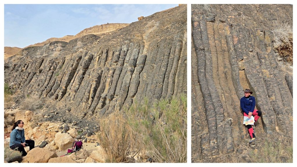
I absorbed a bit of a geology lesson on this hike:
Magma is melted rock below the earth’s surface.
Lava is magma once it flows out of the ground.
Basalt is solid rock that forms when lava cools and hardens.
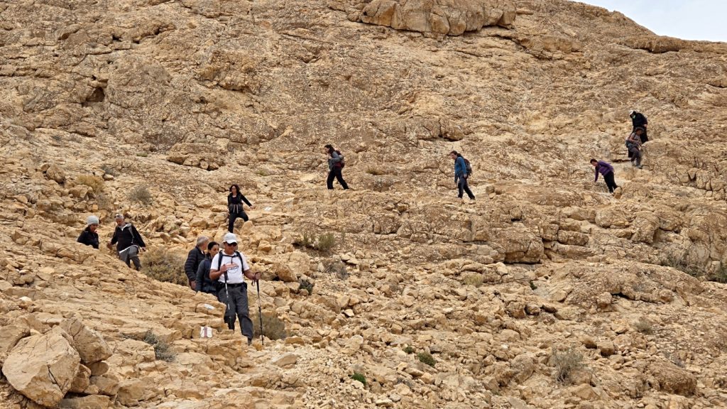
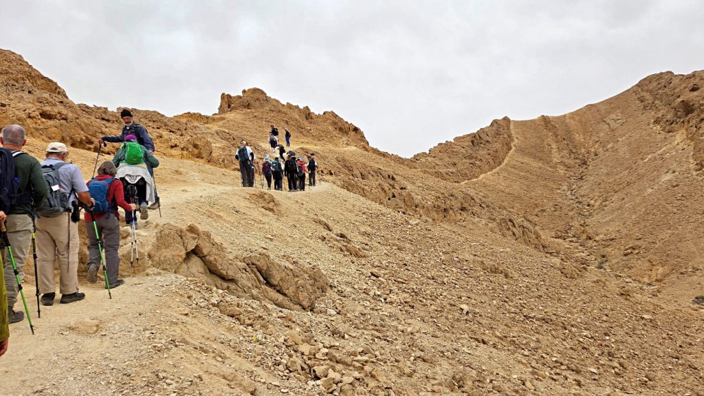
Shen Ramon, the big highlight of the day, is an imposing rock formation that rises sharply from the southern wall of the makhtesh. It was formed by magma that solidified underground and later became exposed by erosion.
Literally meaning “Ramon’s tooth”, it has a tooth-like shape, and a sharp, jagged appearance.
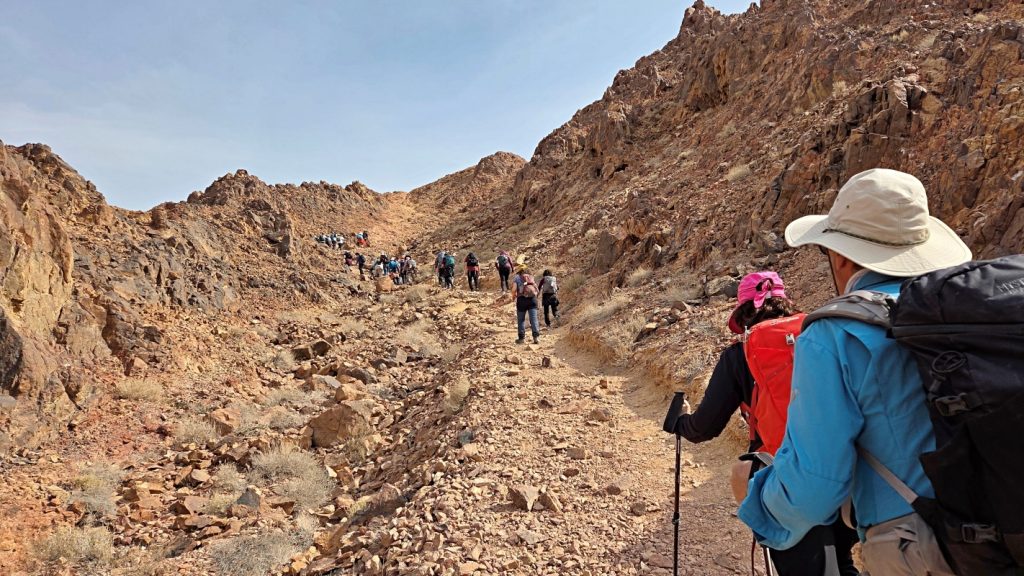
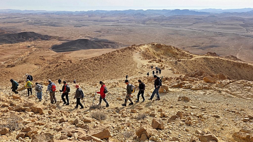
Climbing slowly and steadily, I conquered the mountain.
Enjoyed the magnificent landscape.
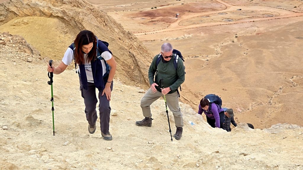
And then climbed down.
Only to encounter another short climb.
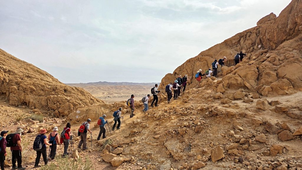
And the final challenge getting down.
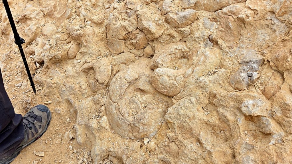
Lastly, the Ammonite Wall, a limestone cliff packed with large, spiral ammonite fossils. These remnants of marine creatures are proof that this region was covered by a sea millions of years ago.
Day 2
Nahal G’vanim (Highway 40) to Ein Saharonim
After a comfortable night sleep in a hotel in Mizpeh Ramon, we resumed our hike through Makhtesh Ramon in Nahal G’vanim, a colorful wadi known for its layered, multi-hued sandstone hills.
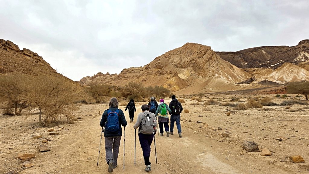
The weather was once again chilly and overcast. The gray sky muted the hues and tones of the landscape. Still, the scenery was extraordinary.
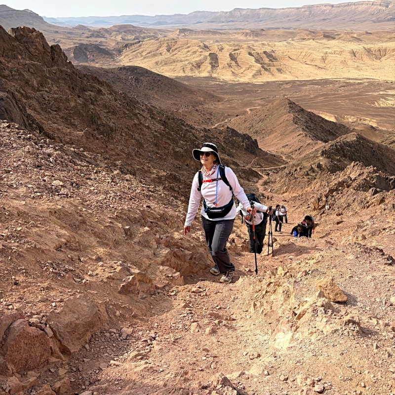
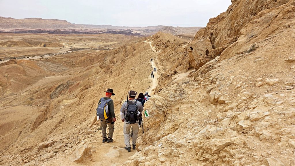
Har Saharonim, the first highlight of the day, forms part of the high rim of Makhtesh Ramon.
It began with a bit of technical climbing to reach the ridge.
But then the trail became a smooth and easy path.
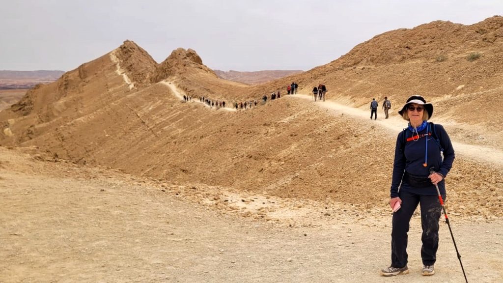
Walking along this section provides breathtaking views of the makhtesh.
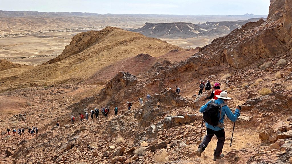
And then we headed down into Nahal Nekarot, the second highlight of the day,
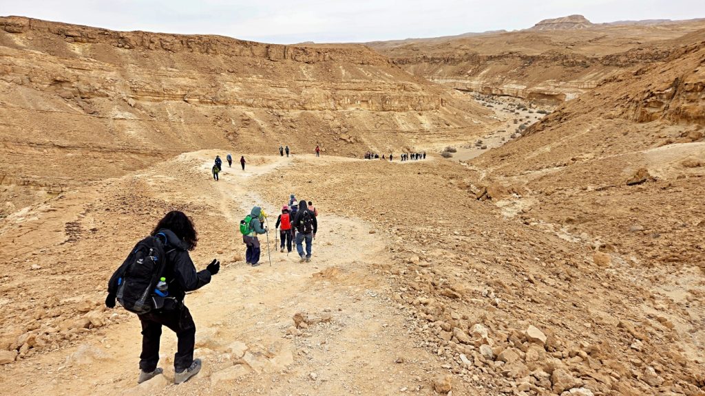
This stunning wadi is a “drainage pipe” of the makhtesh, carrying floodwaters eastward some 30 kilometers into the Arava.
Flash flooding has sculpted the landscape.

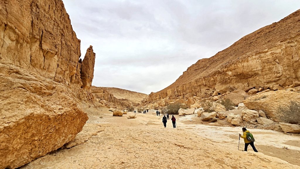
The awesome Nekarot Horseshoe portion of the hike.
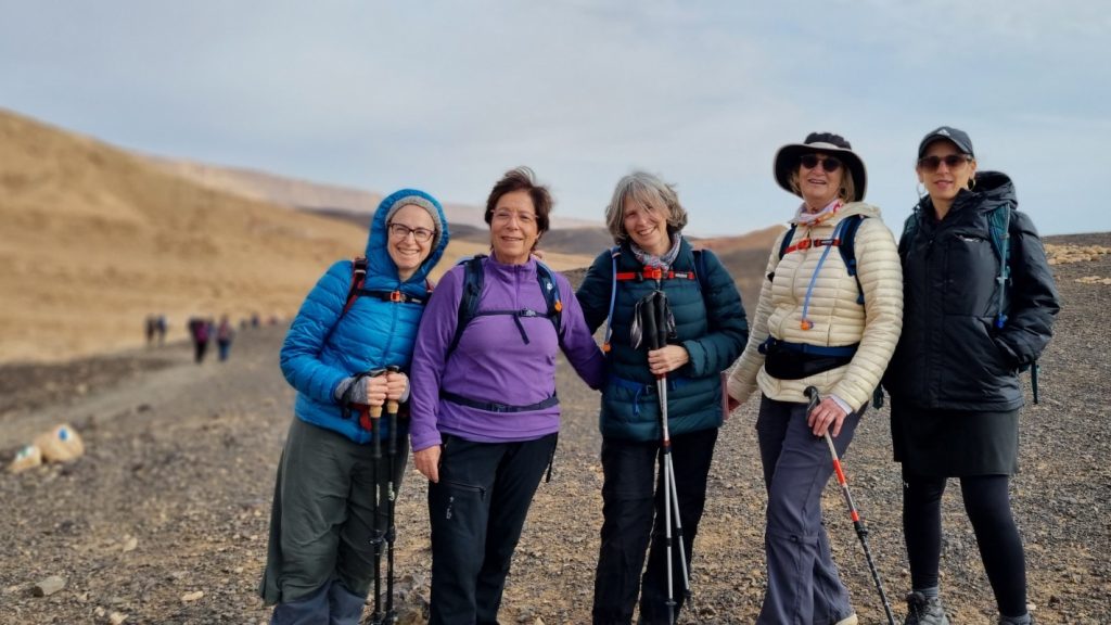
Taking a break, and taking in the sights.
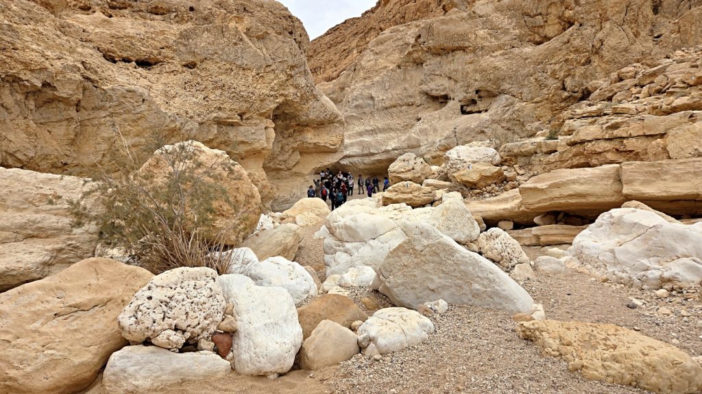
We exited the Israel Trail and hiked a couple kilometers to the Ein Saharonim campground area (where a bus was waiting to return us to our cars in Mitzpeh Ramon).
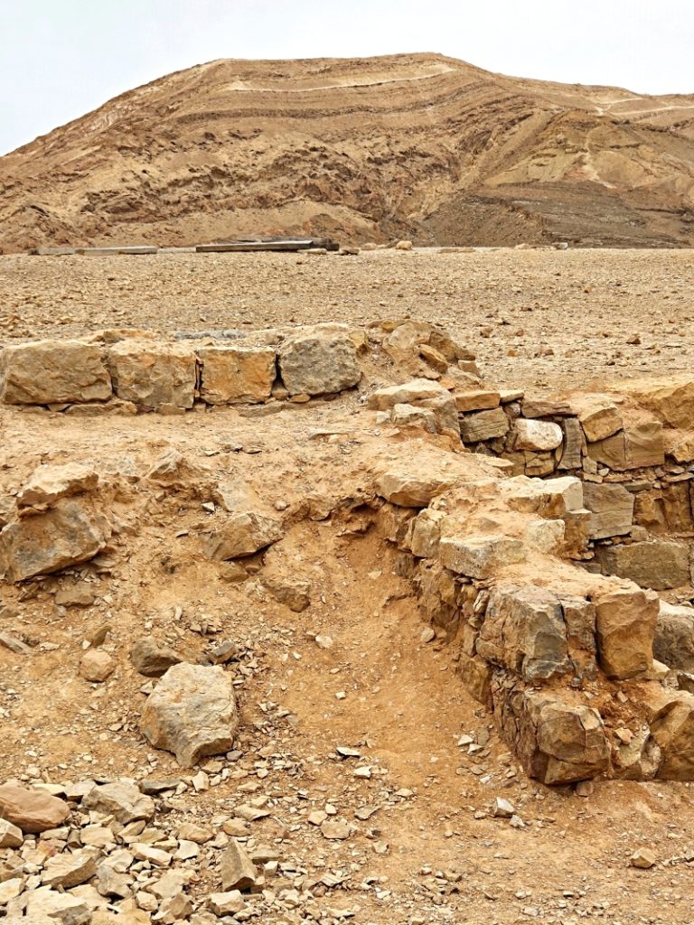
Nearby, we stopped at Khan Saharonim, the remains of a Nabatean caravan station along the ancient Incense Route.
Looking up from here, we can see the trail along Har Saharonim that we hiked earlier in the day.
Complete photo album: 2026-01-21/22 Israel Trail