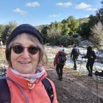
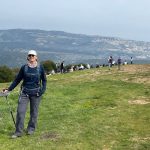
Keren Naftali to Alma Bridge with Al-Hashvil, guided by Avi Farjioun
Photos/videos album: Israel Trail Hike 2022-02-03
“If you can find a path with no obstacles, it probably doesn’t lead anywhere.”
Frank A. Clark
This should have been Israel Trail hike #4, but was skipped due to wet and muddy terrain that was deemed unsafe for hiking. That change meant we lucked into snow on our previous hike. Now it also meant we lucked into a water-filled Lower Dishon Stream, which had begun flowing just two days previously.
Just as I was leaving home to head north the day before the hike, the group received a message of “wonderful news” from our guide Avi. He told us to expect to cross ankle-high water, and advised us to have dry shoes and socks ready to change into at the end of the hike.
Signs of spring
Since this hiking segment was six weeks delayed, winter rains had turned the landscape bright green with new growth. Wild almond trees were in blossom, but wildflowers were still scarce to find.
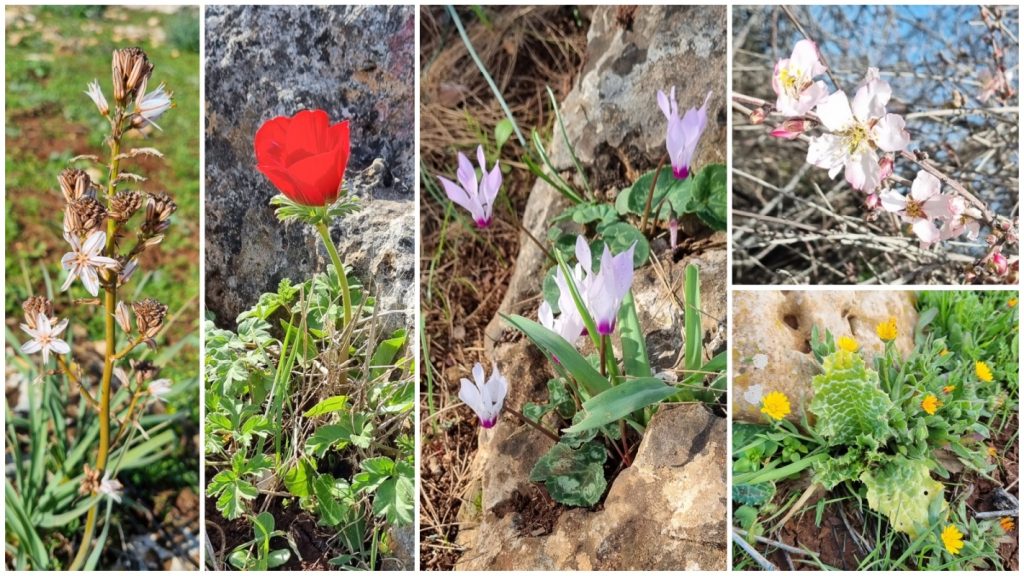
The weather was ideal – sunny, and warm enough to hike without a jacket.
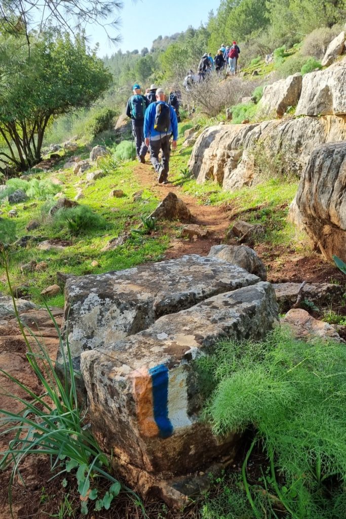
We began the 14-km hike at the Ramot Naftali lookout point. Over the course of the day, the trail took us up and down several times. As we ascended and descended, the landscape changed continually – from forested hills, to orchards and agricultural fields, and finally to the deep valley of the Dishon Stream.
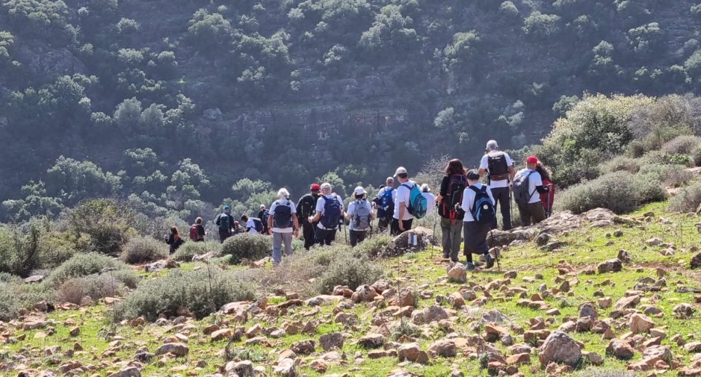
The trail also varied throughout the hike, causing us to change formations as we progressed. Sometimes we walked single-file on narrow tracks. Sometimes we spread out as we crossed rocky fields, or circumvented puddles and mud on the wider trails.
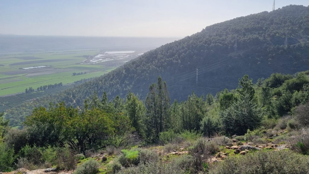
and Hula Valley
Keren Naftali – triangulation point
Keren Naftali (Naftali’s horn) served as a visible point of reference for much of the day. First it was the mountain we climbed in the early hours of the hike.
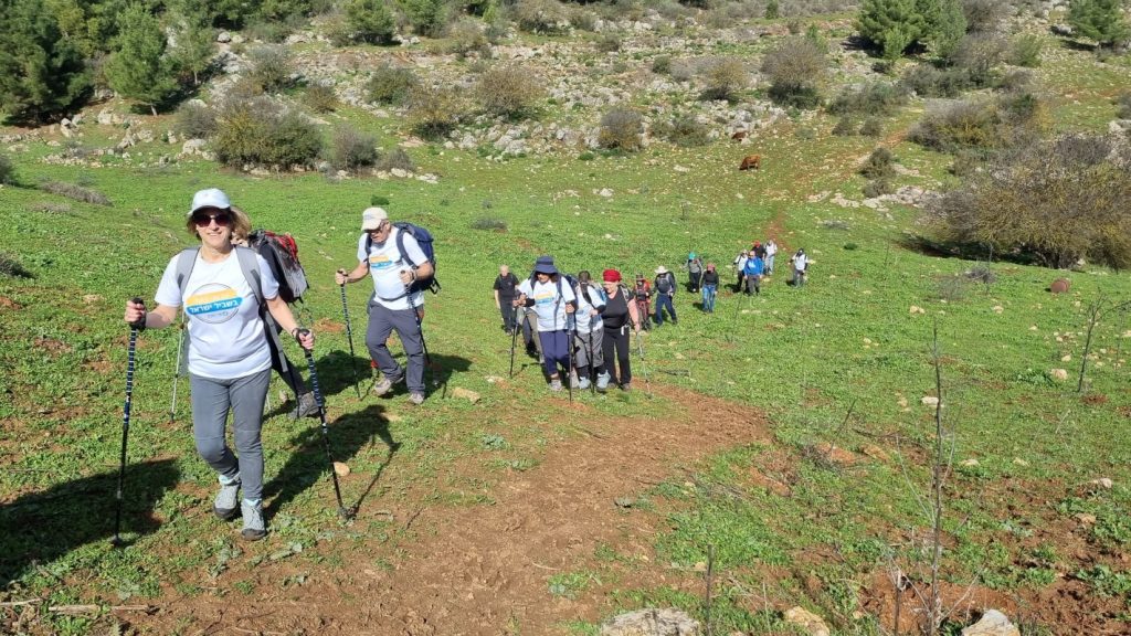
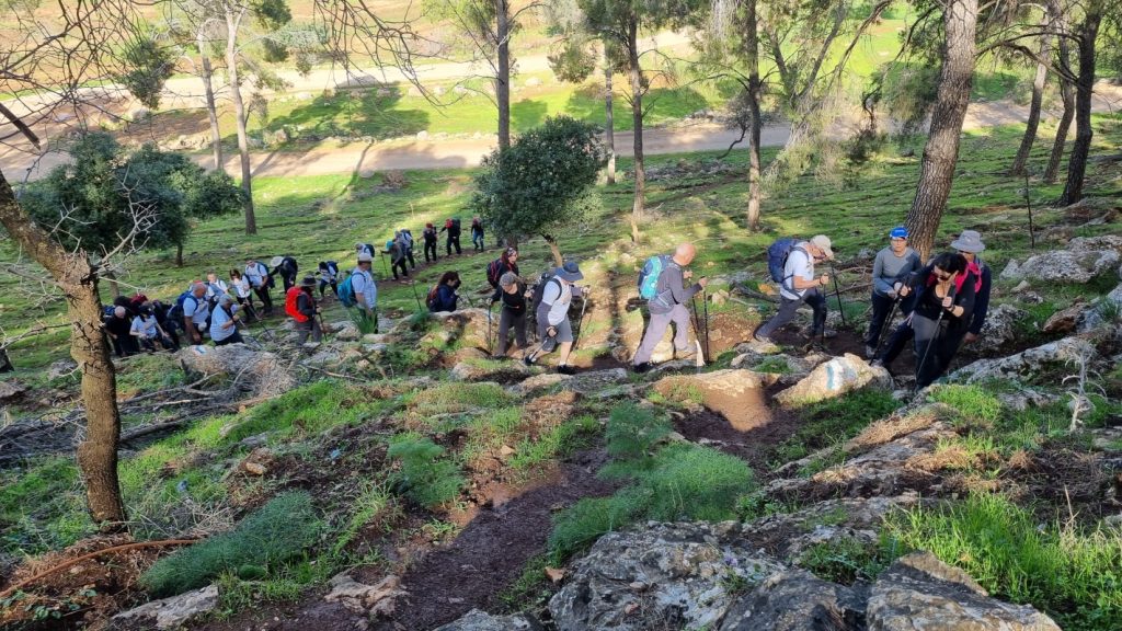
At the top, we enjoyed panoramic views, and learned about the Hashmonean fortress and other ancient remains located here.
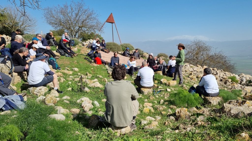
snow-covered Mount Hermon on the horizon
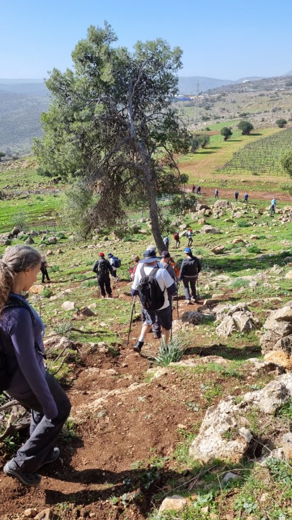
into the Yachmur Valley
Twelve years ago, on a hot day in April, I hiked this segment of the Israel Trail with a group of friends. I’ve looked back at my blog and photo album from that hike. While the track has not changed, this hike was a completely experience, for many reasons. But I distinctly remember this pipe crossing.
climbing over fence and pipe
Yachmur and other kosher meats
The middle portion of the hike crossed the fertile Yachmur Valley. It was a flat stretch of several kilometers on a wide dirt road, which Avi called “hikers’ heaven”. The pace is quick, walking is easy, and talking is even easier. (I’m surprised by the number of fellow-hikers who do not disconnect for the day. I think they miss out on so much when distracted by mobile phone calls and texts.)
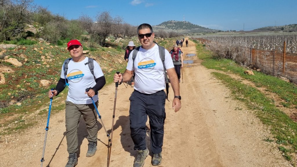
with Keren Naftali in background
During a rest stop, Avi spoke of the connection between kosher animals defined in the bible, and the names of places in this region – such as Yachmur, Dishon, and Zemer. It seems there are no definitive identities or translatable names (deer? antelope? buffalo? giraffe?). So to keep things simple, kashrut observers eat primarily beef and poultry.
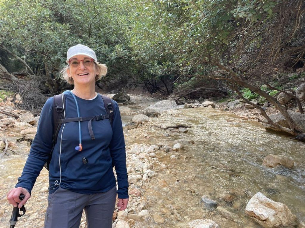
The penultimate section of the hike was a short, steep descent down to the Dishon Stream. The trail and rocks were dry enough that it was not (too) difficult. Only my knees complained. It was awesome hearing rushing waters as we approached the stream. A rare treat.
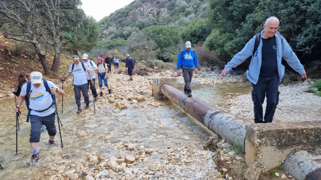
Stream crossings were the highlight of the day
The final few kilometers took us across the Dishon five times. Taking the first step into the water was a bit daunting. But once both feet were wet, it was actually not at all bad. Tia particularly enjoyed the therapeutic effect of the cold water on her feet at the end of the long hike.
At least one hiker managed to safety cross the stream all five times without getting wet.
5 crossings!
Some hikers chose the pipe-walk method of getting across.
The complete set of my photos/videos, in a Flickr album: Israel Trail Hike 2022-02-03
Related blog posts:
Segment 3 – Yesha Fortress to Nahal Dishon (Alma Bridge) (2010)
