Caesarea to Beit Yanai
with Al–Hashvil, guided by Avi Farjoun
Photo album: Israel Trail Hike 2024-05-02
It’s hard to escape the sights and sounds of urbanization when hiking in the vicinity of Hadera, midway between Tel Aviv and Haifa. But clever logistics by the Al Hashvil organizers gave us maximum time in natural environments on this Israel Trail hike.
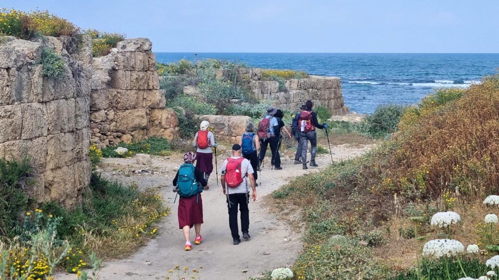
We started the day with a short excursion in Caesarea National Park. We entered the park (for free) from the north, and exited through the main gate on the south. A bus then shuttled us past the Hadera (Orot Rabin) power station, commercial zones, and city streets.
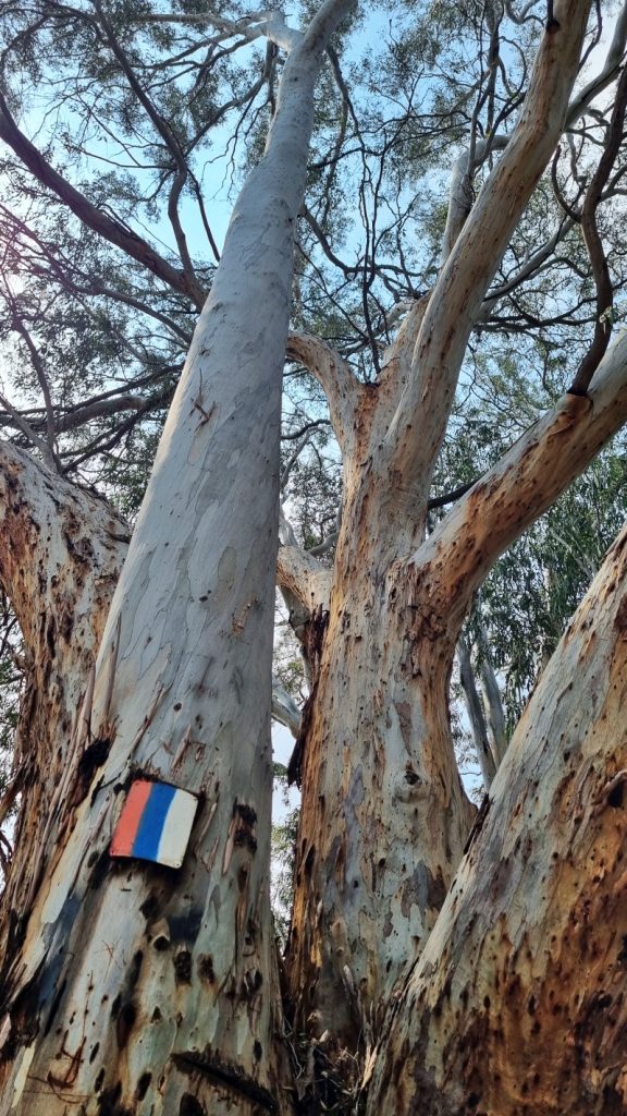
Eucalyptus trees
At the Hadera train station, we reconnected with the Israel Trail as it enters the Hadera Forest.
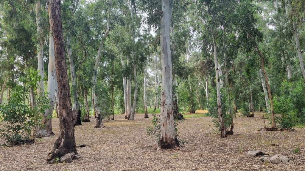
Settlers in the late 19th century planted eucalyptus trees in an unsuccessful attempt to dry the surrounding swamplands.
Our first rest stop of the day was under a massive eucalyptus tree. It certainly looked well over 100 years old. So I wondered why most of the trees in the forest seem so much younger. A bit of internet sleuthing led me to learn that the eucalyptus can regenerate from a strump, and the forest has undergone numerous cycles of felling and regrowth.
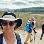
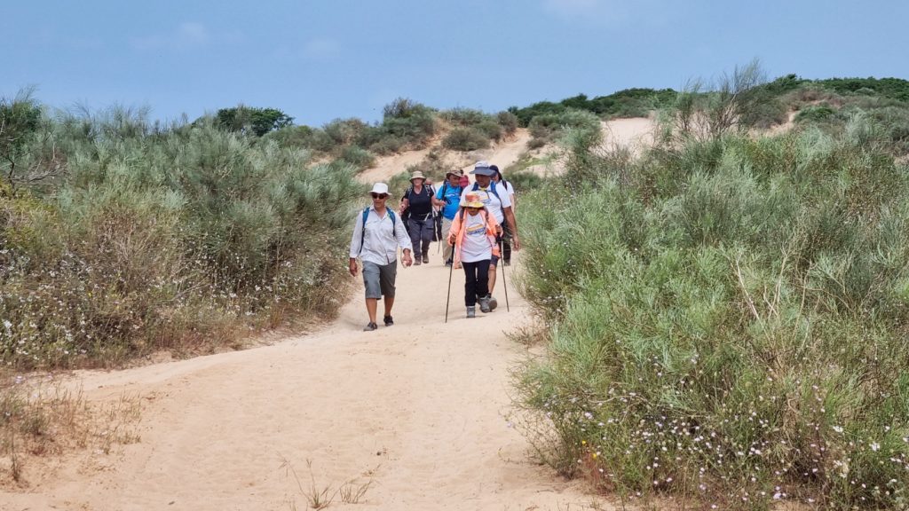
We left the forest and headed into the Sharon Park reserve.
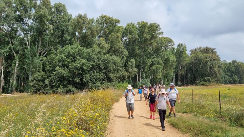
Meadow grasses and wildflowers cover the sandy hills of the park. A smattering of majestic Tabor oak trees, with their thick canopies, dot the landscape.

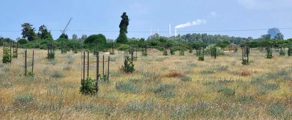
The KKL-JNF is now reforesting this area with oak and carob trees. Perhaps in my lifetime I will see a new forest emerge. This gives me hope that this expanse of land will remain unspoiled and undeveloped.
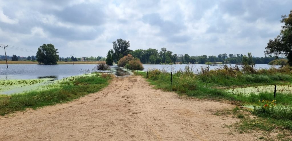
To the east of the Sharon Park is Forest Pond (also known by the Arabic name Birket Ata). Designated as a nature preserve, this seasonal pond has flooded even more than usual this year due to heavy rainfall.
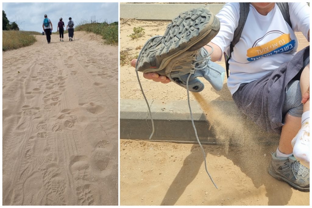
Sandy trails
We trekked across the soft sandy trails of Sharon Park.
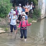
We struggled a bit on the dunes. Some of us had to empty our shoes.
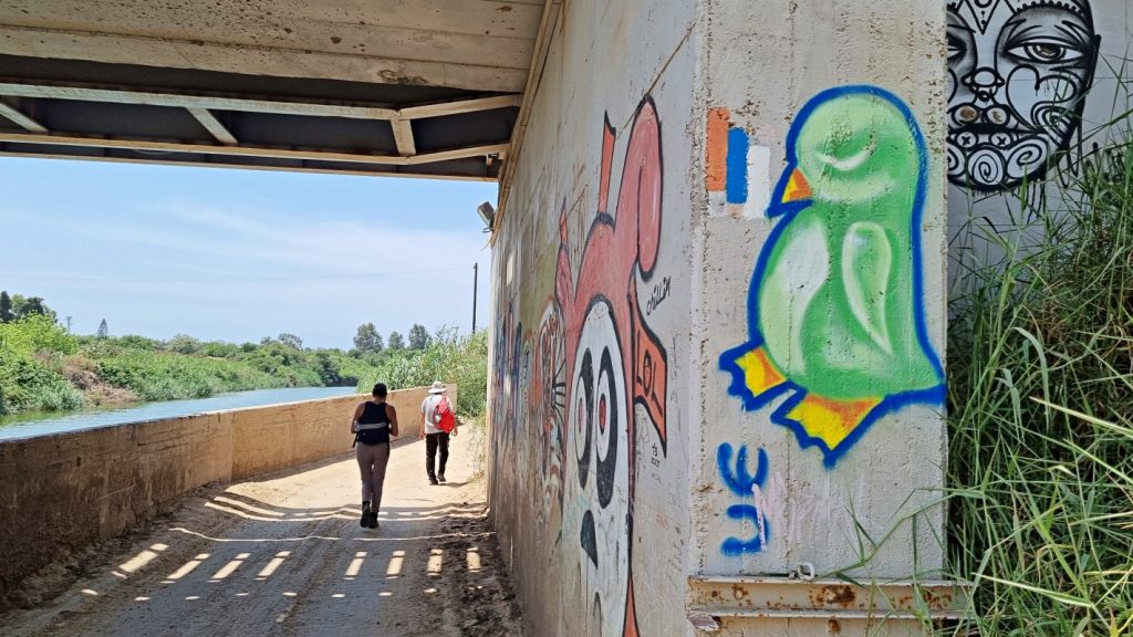
Our guide Avi did his best to avoid the industrial zone of Emek Hefer, which meant deviating slightly away from the trail, and hiking on the western edge of the industrial park.
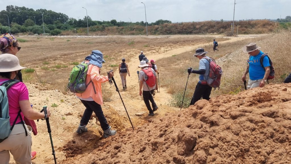
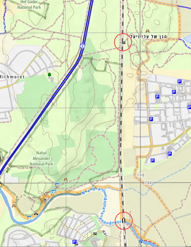
However, I was a bit confused by this route. I recalled that the Israel Trail once passed under the train tracks in Park Hasharon, and headed south through Nahal Alexander National Park. Afterwards I checked the map. I don’t understand why the previous passageway has been blocked. Instead of a pretty forest, we got to see the ugly backside of an industrial park.
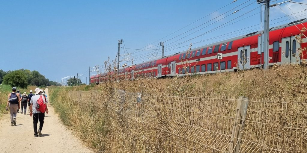
Railroad tracks
The rerouted Israel Trail now crosses under the train trestle that spans the Alexander Stream. Nearby is the Turtles Park, a sanctuary for soft-shelled turtles. We stopped here for lunch on the grass in the shade. I treated myself to a fruit popsicle from an ice-cream truck there.
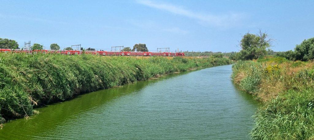
Sometimes on Israel Trail hikes, we hear noise from traffic on nearby highways. On this hike, however, it was the blasting of train horns that accompanied us throughout the day.
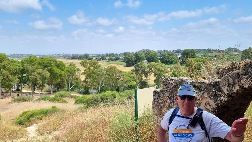
Our hike ended with a short climb up a hill in the Nahal Alexander National Park to visit the impressive structure at Khirbet Samara.
The complete set of my photos in a Flickr album: : Israel Trail Hike 2024-05-02