Segment 1: Tel Dan to Tel Hai *
After a six-week hiatus, the Mishli hiking group is back on the Israel National Trail for two days (September 11 and 12). To begin our second season, we are starting at the northern trailhead at Tel Dan, and plan to hike the first two segments of the trail.
The start is a long way from home, and most of us had gotten up before dawn to make our way to the meeting point at the Tel Hai cemetery next to Kfar Giladi, where our first hike will end. Earlier in the week, cooler weather had been predicted for the weekend, but by Friday the weather had plans to heat up again. So we were eagerly looking forward to the watery and wet portions of today’s hike.
9:25: After a few group photo poses next to “Start of Trail” signs, we are on our way. We are a group of only ten (we’d expected twelve, but Ebba and Shmulik had to cancel late in the week).
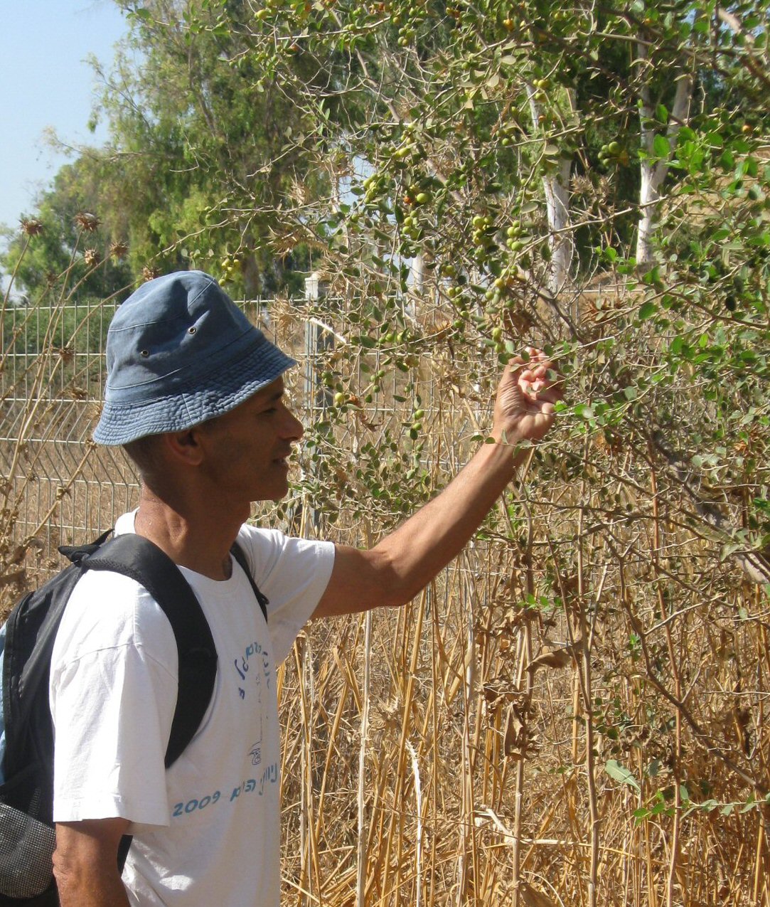
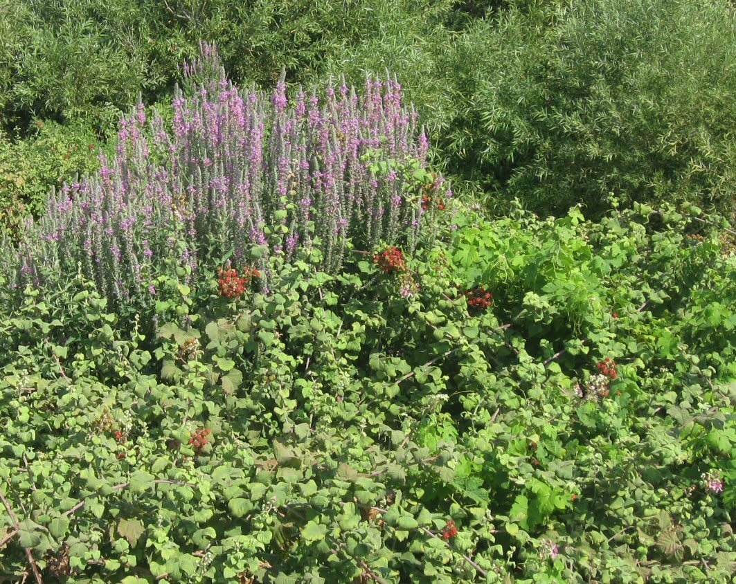
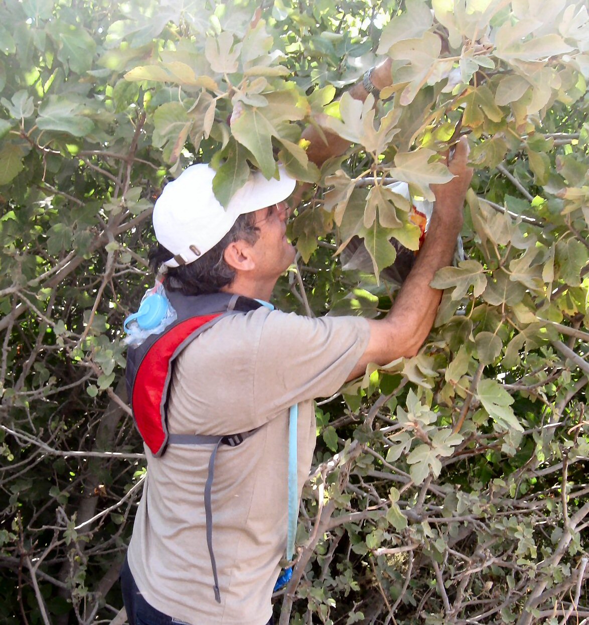
It does not take long for David and Avner to spot the wild fruit trees and to begin picking fruit. And thus, for the first 5 km (hour and a half) our hike is punctutated by frequent stops to pick and nibble on wild fruit.
First it is jujubes (not much in them).
Then blackberries (small, but very sweet).
Then figs (not quite ripe).
And more jujubes. And more blackberries.
10:45 (5 km): The fruit nibbles have not sufficed, and it’s time for a serious snack break. We reach a point where the trail crosses a tributary of Nachal Senir (Hazbani), and enters a dense grove of trees. We find a small niche among the trees along the bank of the stream. David and Ruthy cannot resist; they take off their shoes and wade in the ice cold water.
11:20 (6 km): We reach the entrance of the Senir Stream Nature Park and Reserve. We know there’s an entrance fee to pay. It’s slightly annoying to have to pay to stay on the trail, but we know the fee helps maintain the reserve and deters the kind of visitors who tend to treat Israel’s beauty spots with less than respect.
We begin our visit in the reserve at the wading pools, where we dip our feet and switch into sandals for the hike downstream.
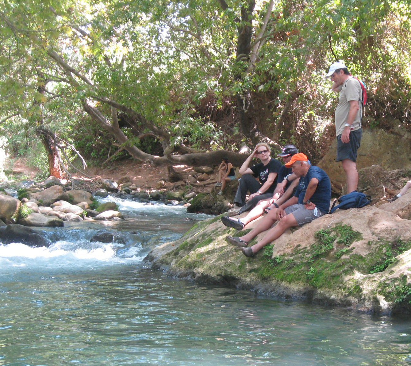
11:50 (6.6 km): We begin the highlight portion of today’s hike. The shaded path takes us alongside the stream, across the stream, stepping on stones, ducking under low branches, climbing over bolders. Miri and Ruthy both try to avoid getting their shoes wet. Miri finally succumbs to the stream; Ruthy manages to stay dry.
We pause again, setting ourselves on the bolders, just to watch and listen to the flowing waters of the stream and to contemplate on the beauty of it.
12:45 (8.2 km): We emerge from the nature reserve through a turnstile gate at its southern end that is intended to prevent visitors from entering the reserve at this point.
Question: what do you do if you are hiking the trail from south to north? Answer: you can slip through the turnstile (and you can also do something honest and honorable — pay the fee when you get to the cashier’s booth at the northern gate.)
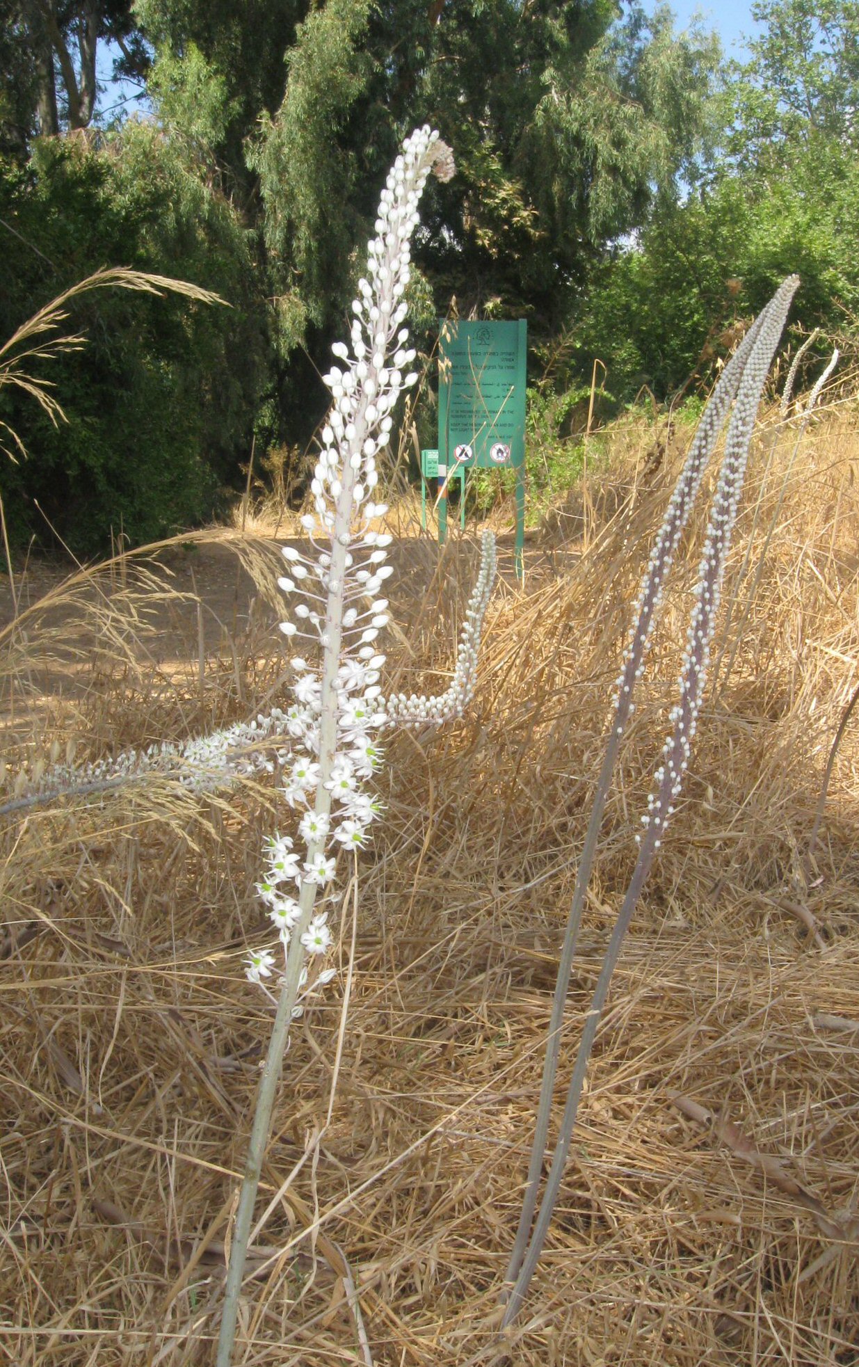
The khatzav (squill) flowers are in blossom, signalling the beginning of autumn.
Tomatoes in the field alongside the trail have been left unpicked. Ruthy and Musa harvest a few. They have gotten so hot in the sun, that all we can do is squeeze them and drink their juice… tastes like tomato sauce!
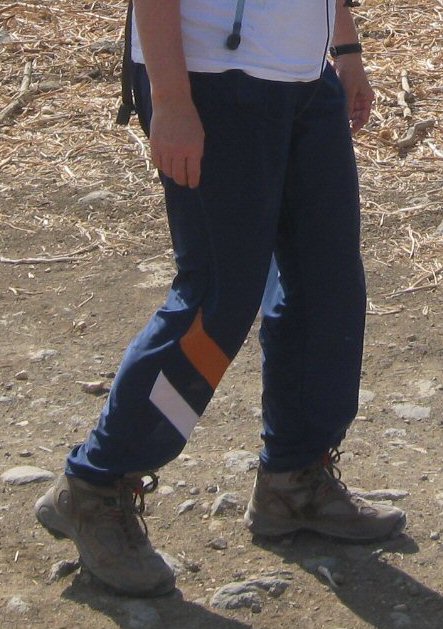
12:55 (8.6 km): Near the Goshrim Junction, we stop to put our hiking shoes back on. Someone makes a comment about Varda’s pants; she’s wearing the bottom half of our orienteering club’s O-suit. But, if you didn’t know that, you’d think she was wearing a special pair of Israel Trail hiking pants.
13:05 (8.8 km): We begin a long and gradual uphill walk towards Mayan Baruch, mostly on the paved road itself, sometimes on the shoulder of the road. Not much traffic, but we do need to be careful of cars.
13:22 (10.1 km): The trail turns west and crosses agricultural fields that are void of crops at the moment. The trail is hot, dry and dusty. No trees or shade. We follow the trail blazes, but the trail does not seem to match the trail marked on our maps. Indeed, afterwards, we see that a new road skirts around Kfar Yoval, and the trail has shifted accordingly.
14:05 (12.7 km): On the west side of Kfar Yoval, we come upon Nachal Ayun, a tiny stream at this point, but shaded in a grove of trees. It’s enough for me: I pull off my shoes and cool my feet. We make a short rest stop. More jokes from David.
14:27 (12.9 km): We begin our final push on the last leg of today’s journey. Afterwards I see that we missed an easy detour (just a few steps off the trail) to Tel Hagidem… we were too hot and tired to notice it.
14:38 (13.9 km): We cross over Highway 90, and begin the final ascent to the Tel Hai cemetery. The trail takes us around Kfar Giladi, through a field which has recently succumbed to a brush fire. It is barren and black and not very pleasant, fortunately it is just a short stretch.
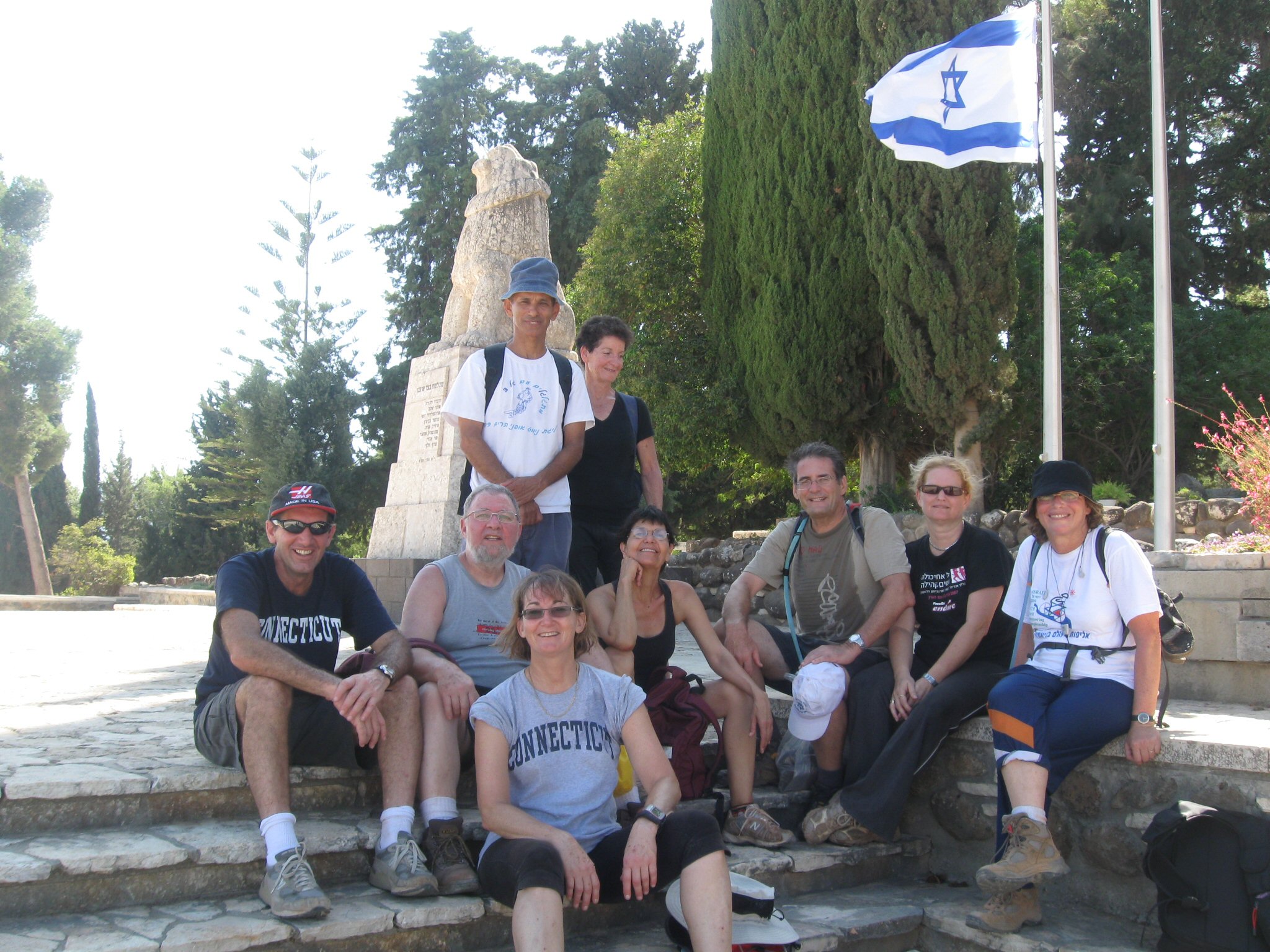
15:00 (14.9 km): With the statue of the roaring lion and an Israeli flag in the background, we take a group photo to mark the completion of today’s hike.
Except for Avner and Saraleh, who head to family in Hulata, we all check into our rooms at Tel Hai hostel. Showers and naps are a priority. We reconvene later for a potluck, genuine Shabbat dinner, warmed on a hotplate provided by Ruthy, in a semi-secluded spot in the yard of the hostel, nicely lit by a streetlamp, and with a stunning view of the Hula Valley.
See the complete set of today’s photos (Flickr).
The video version of today’s journey:
היי ליסה,
כל הכבוד על התיעוד המדוייק והמקיף,
נהנתי להיזכר בטיול וביום מאוד מוצלח ונעים
מחכה כבר לקרוא בבלוג על הטיול של יום שבת.
אם אתם מגיעים לניווט בגן סאקר בשבת, תתכננו לבוא לבקר אותנו,
להתראות
ורדה