Segment 1 – Dan to Tel Hai (Hagoshrim) with Al-Hashvil, guided by Avi Farjioun
Around a decade ago, for several years I organized and led a group of friends on the Israel National Trail. Once a month we hiked segments of the trail, in random order. In total, I did 21 Israel Trail hikes and about 300 kilometers of the trail. For various reasons, we stopped hiking the trail, even though we thoroughly enjoyed the hikes and the camaraderie. I can say that one cause was that I simply ran out of steam as the organizer.
As the years passed, it seemed I’d never make it back to the trail. But then my distant cousin, Tia, who lives nearby, suggested we join an organized group. It meant paying someone to handle the logistics, and making a commitment to do ten hikes a year. Tia recently retired and can hike any day of the week. I still work, and enjoy it. Nevertheless, I decided I should treat myself to a monthly day off and trail hike.
So we signed up with Al-Hashvil, and joined the Brosh once-a-month-Thursday hiking group. The company came highly recommended to Tia. I knew nothing about them, and put my trust in her.
The Brosh group’s plan is to hike the one-thousand-kilometers of the Israel Trail, from north to south, over the next six years. My short-term goal is to complete Season 1.
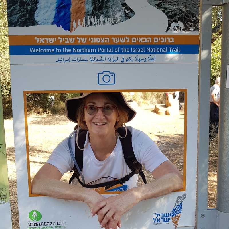
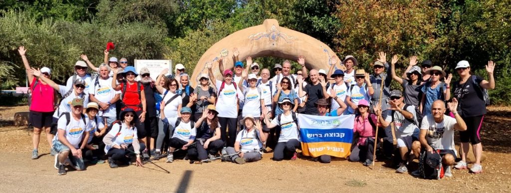
Before setting off on the first day, of the first hike, on the first segment of the trail, we posed for a group photo.
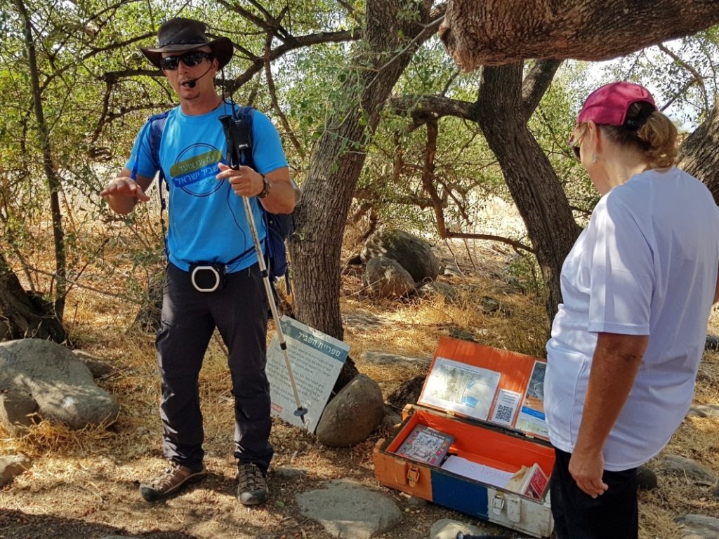
We gathered for an introduction by Avi Farjoun, company owner and our hiking guide. Avi then asked for a volunteer to serve as the ma’asef . The group needs a rearguard, to hike at the tail-end of the group, and make sure nobody gets lost or left behind. After a long pause without anyone volunteering, I raised my hand. Sure, why not?! Having hiked this trail segment years ago, I thought it would be interesting to follow, rather than lead.
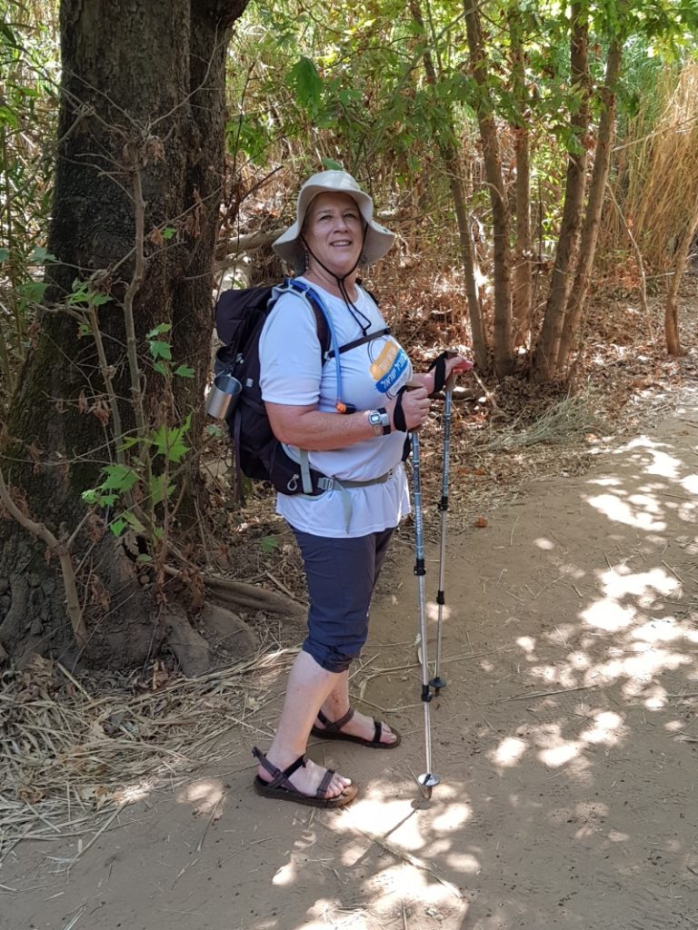
To equip me for the role, I had a walkie-talkie clipped onto the front strap of my backpack, and was given quick instructions on how to use it. And then we were off. But not so fast. Tia and I had to wait for everyone else to move first.
As the trail leaves Kibbutz Dan, it winds around Tel Dan and heads west.
At one stop, we saw an Israel Trail “library trunk”, one of many that dot the trail. Long-distance hikers will leave a book they’ve read, or take a book to read, during down time on the trail.
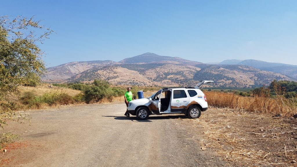
The company’s logistical director, Omri, put in several appearances during the day.
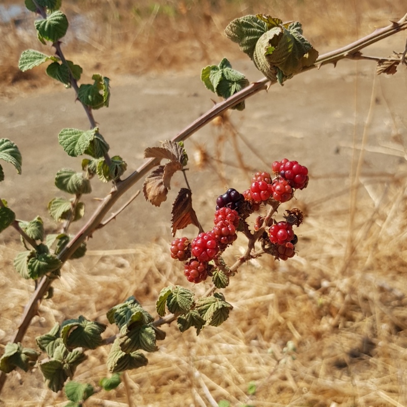
The streams along the trail are lined with bushes of petel, usually translated from Hebrew as raspberry. But the red berries are sour, and the black ones are ripe and sweet, so I think it’s more correct to call them blackberries.
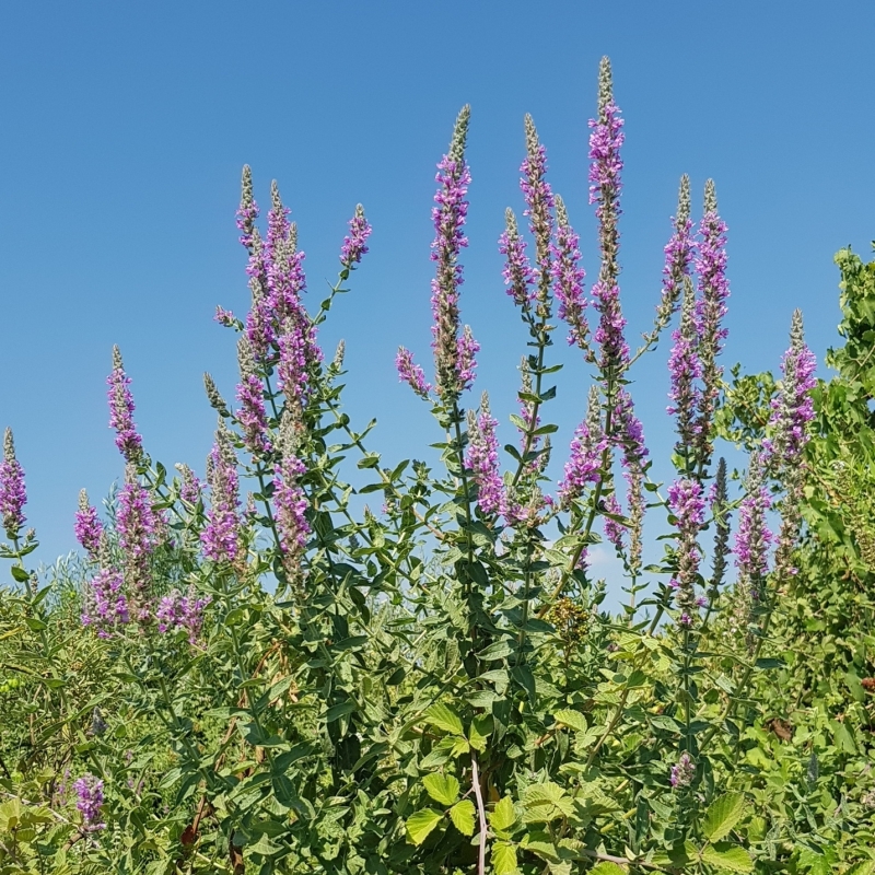
These purple flowers also line the streams. It’s lovely to see so many blossoms at this time of year.
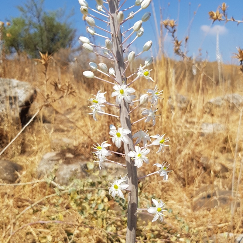
The fields are covered with squills, stalks of white blossoms that are a sign of autumn in Israel.
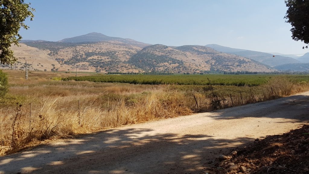
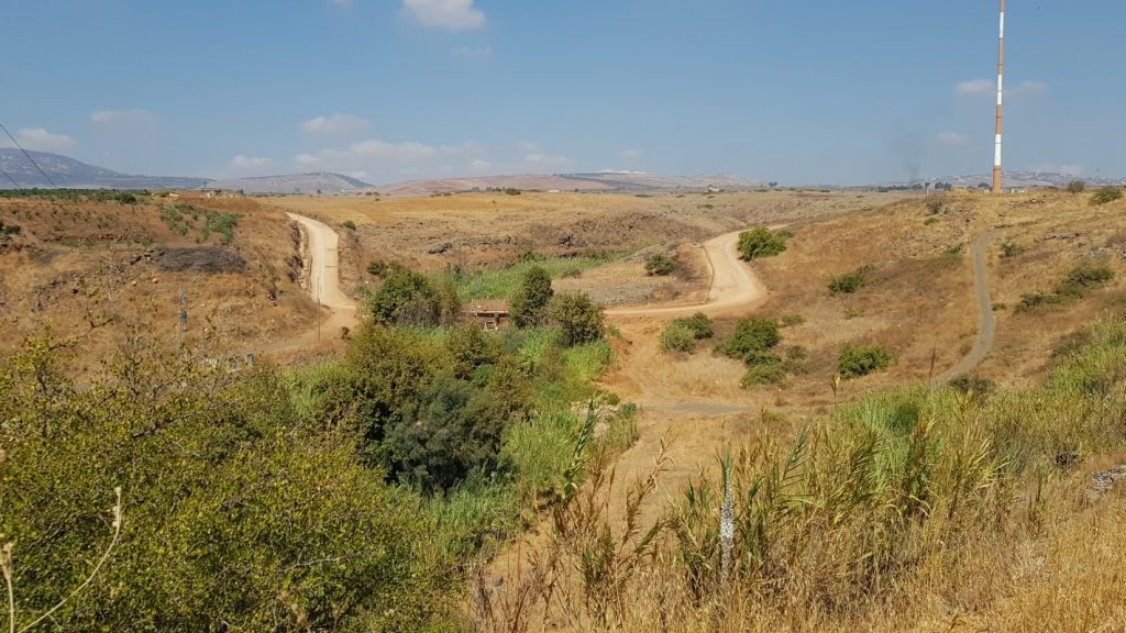
We took a short detour to a vista point overlooking the Hatzbani river valley. The Hatzbani originates in Lebanon, while the Dan river originates in Israel, emanating from multiple springs along underground fault lines beneath Tel Dan. Avi tested our ability to correctly identify the Israeli and Lebanese villages in the distant hills.
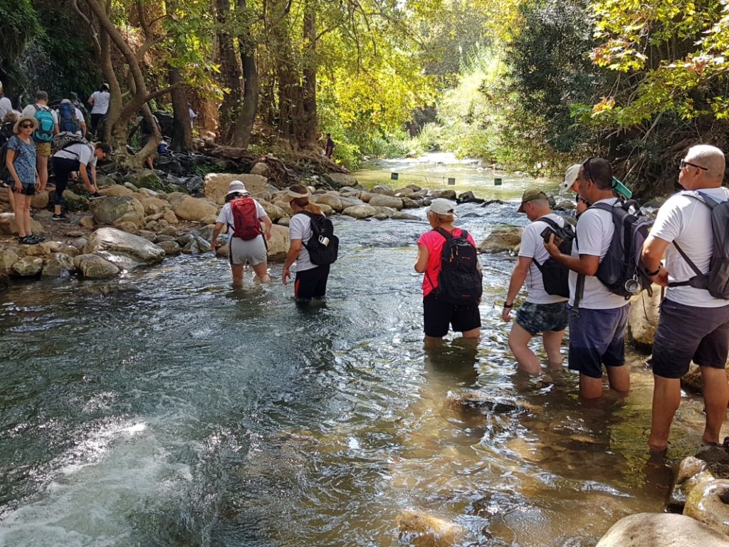
After an easy 6.5 kilometers of hiking, we reached the Snir (Hatzbani) Nature Reserve. We spread out for a leisurely lunch of sandwiches from home. Omri served us hot herbal tea. We received metal mugs as gifts and were asked to use them on all future hikes instead of disposable cups.
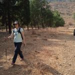
From my rearguard position, most of my photos show people from behind.
I discovered a great benefit of being in the back. I could stop for photo ops without slowing anyone down!
I even got some videos.
Another view from the rear.
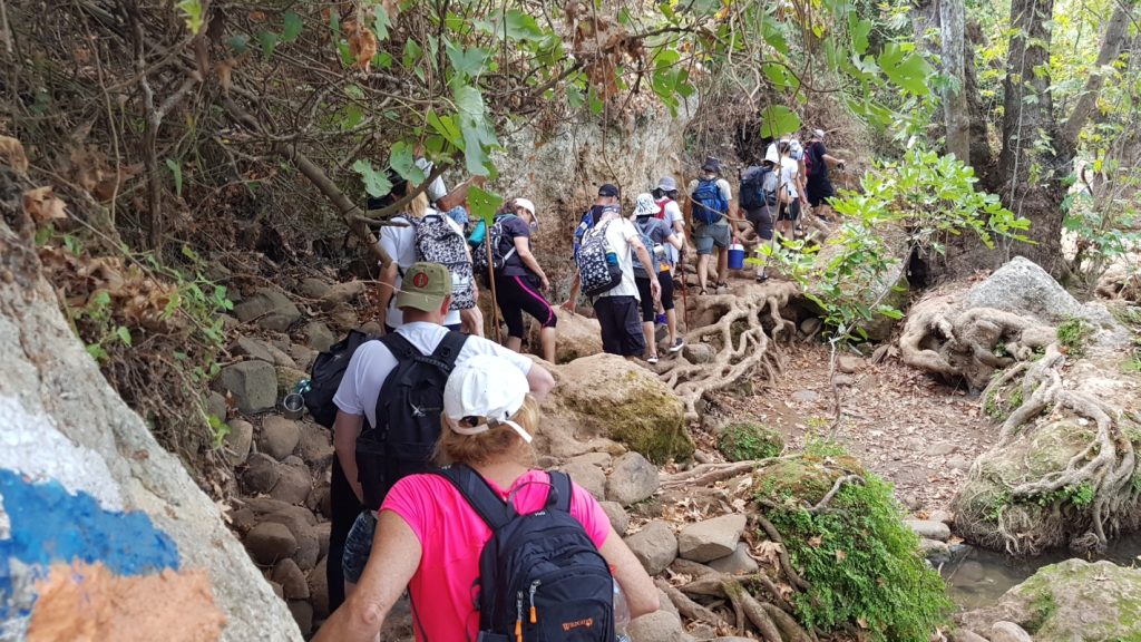
Throughout the day, different hikers ended up at the back of the pack, and I did my best to chat a bit and learn their names. Although we were asked to wear the group shirt that we’d been given in the morning, not everyone changed into it or remained in it. I found different clothing helped me remember which hiking mates I’d already made acquaintance with. Especially helpful since hats and/or sunglasses obscured most people’s faces.
At some point I realized that everyone knew my name, as Avi occasionally called out to me for confirmation of everyone’s presence when we reassembled at stopping points.
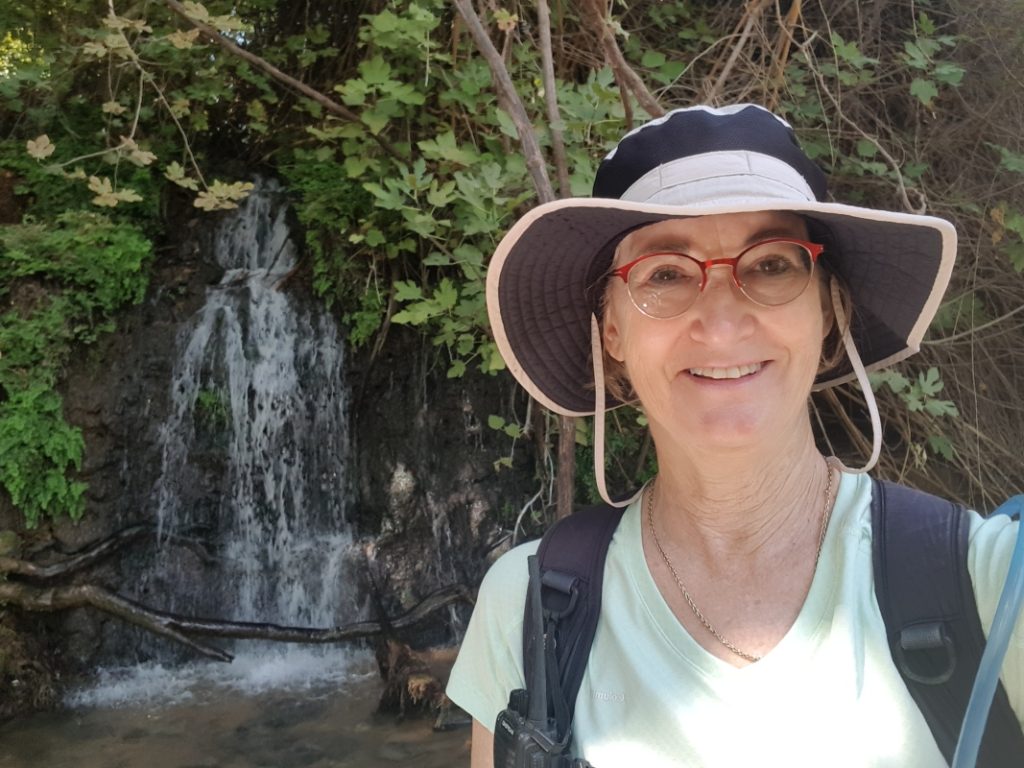
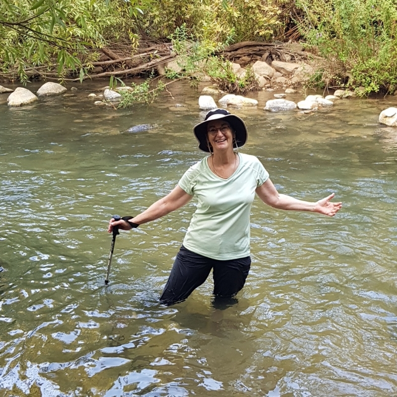
Tia was blissfully wet and weary near the end of the hike.
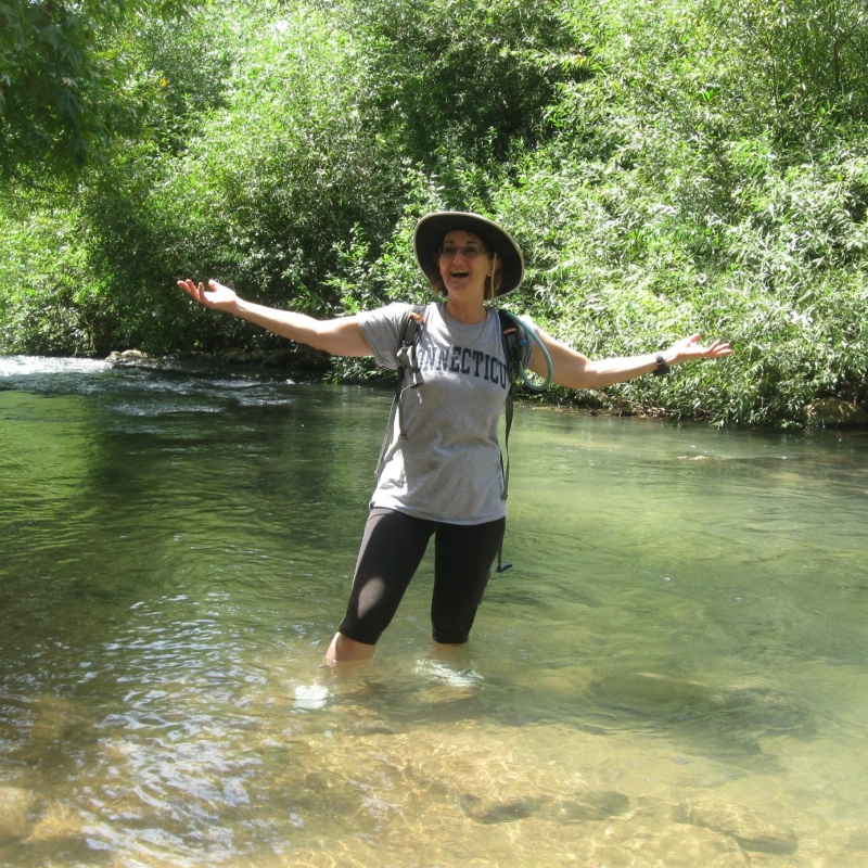
And then I recognized a spot, and had to recreate a pose.
Can you spot the differences?
End note: We finished our hike at Gan Hatzafon, a small commercial strip across the road from the Snir Reserve. The remaining 4 kilometers to Tel Hai, on the shoulder of trafficked roads, are deemed too dangerous and have been removed from the itinerary.
The complete set of my photos, and a couple videos, in a Flickr album: Israel Trail Hike 2021-09-30
My blog post about hiking this segment in 2009: Sweet, Sweat and Wet on the Israel Trail