Ramat HaNadiv to Caesarea Aqueduct
with Al–Hashvil, guided by Rami Shemesh
Photo album: Israel Trail Hike 2024-04-11
I had not expected that water would be the main attraction of this Israel Trail segment. Sure, I knew the hike would start at the Ein Tzur spring, and end on the Mediterranean beach. But the water features and challenges along the way surprised and delighted me.
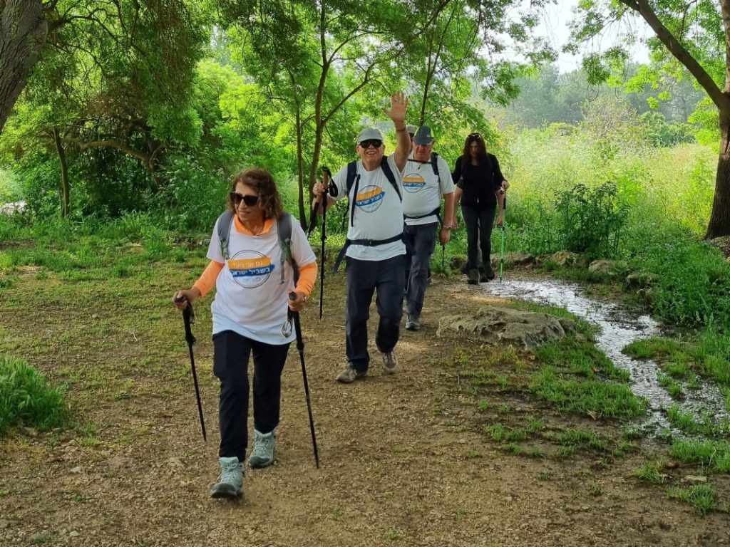
A very wet winter, and some heavy rain just days before the hike meant fields were still lush, and wildflowers were still blooming in abundance.
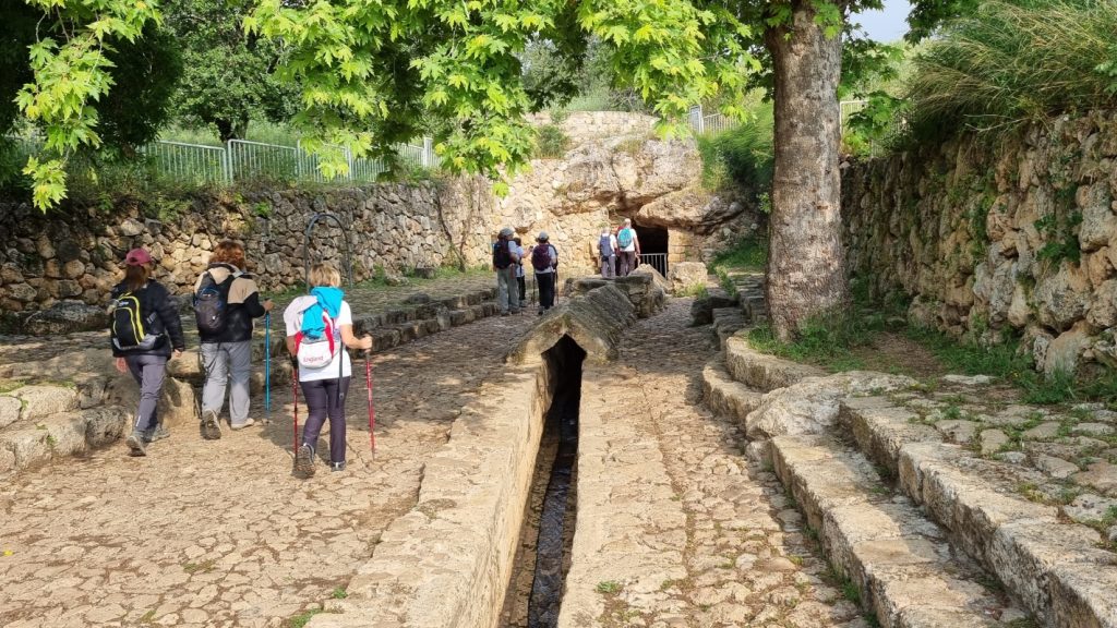
This is the remnant of the farmhouse built in 1880 by the Al-Khori family. In 1913, the farm and surrounding lands were purchased by Baron Edmond de Rothschild. While pioneers’ attempts to settle here were unsuccessful, they did manage to dry the swamps. Today the land is the Ramat Hanadiv nature reserve.
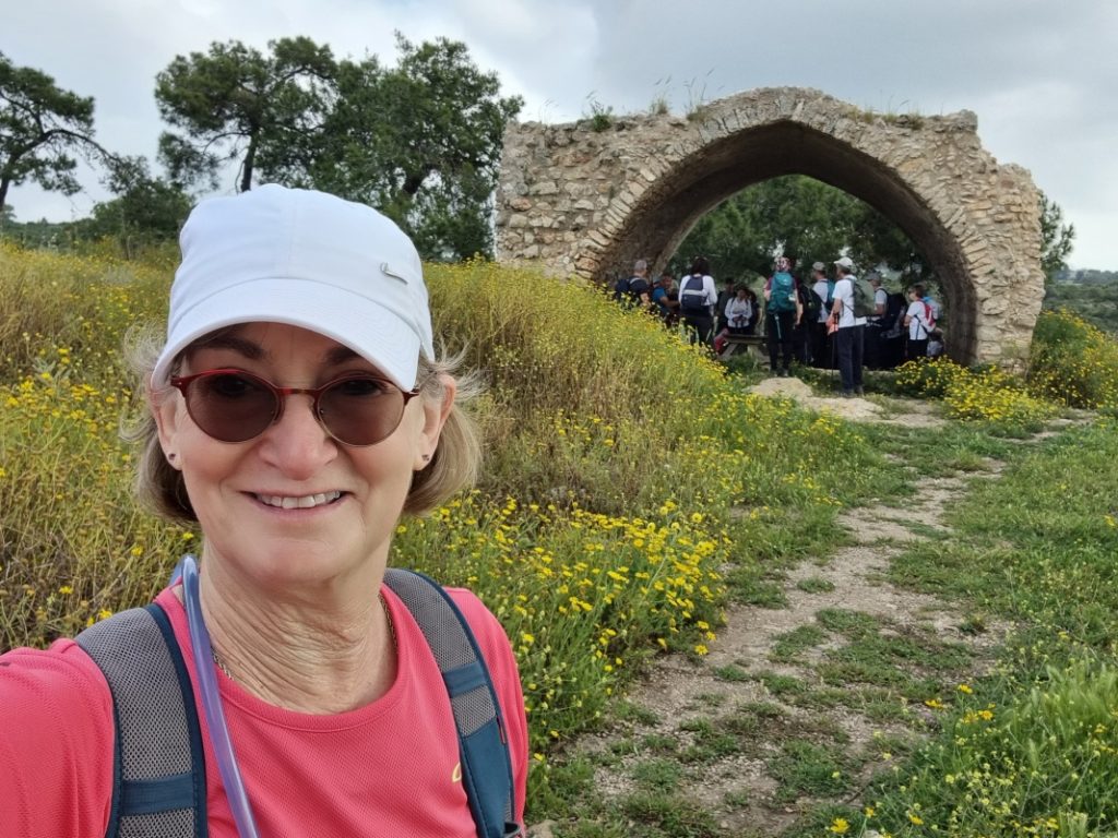
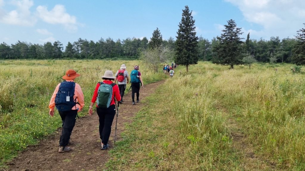
As we headed west and entered an expansive meadow, a sign greeted us:
“Modern research indicates that open landscapes, like this one, evoke feelings of being rooted and calm. … Do you also find this landcape peaceful?“
Yes, indeed!
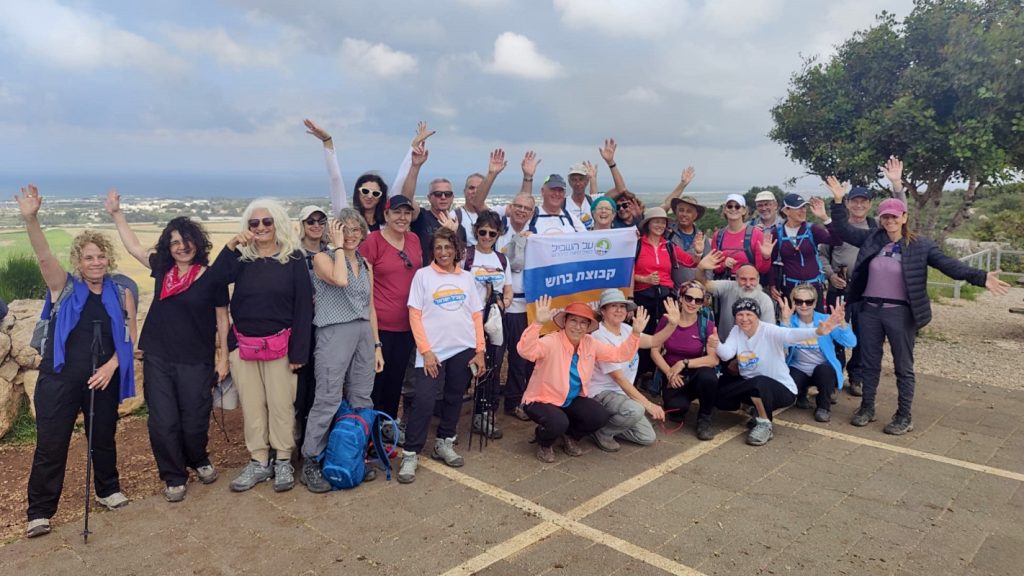
Upon reaching the edge of the Mount Carmel cliff, we did the ritual pose for a group photo.
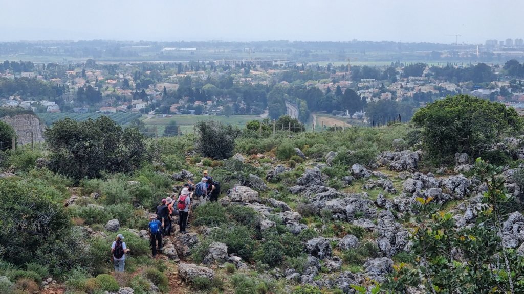
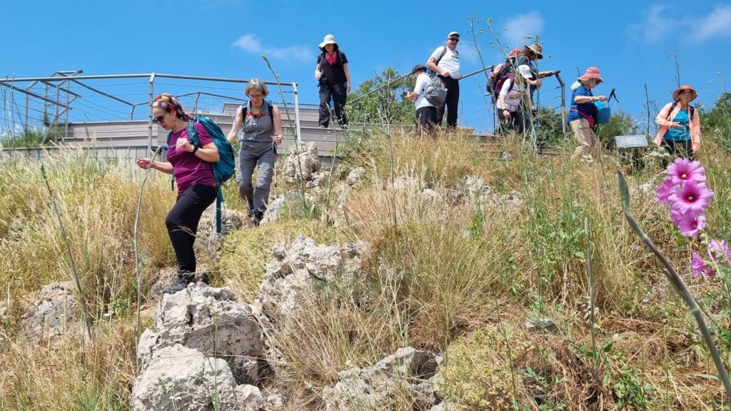
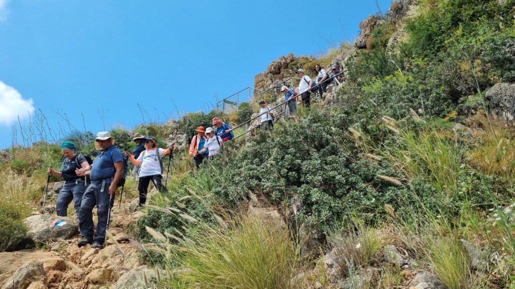
I expected the main challenge of the day to be the steep descent down Hotem HaCarmel (literally, the nose of Mount Carmel).
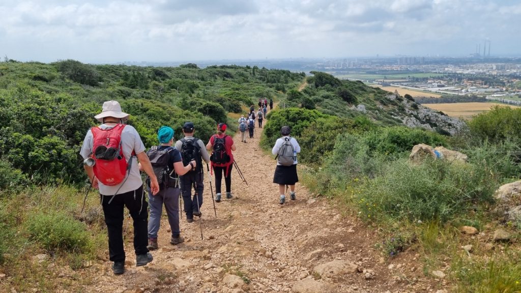
It started easily enough. But just as we reached the rockiest portion, we collided with six school classes of teens ascending the trail. Eventually the noise and congestion subsided, and we could once again enjoy the scenery and the serenity.
A huge Israeli flag mysteriously appeared during our descent.
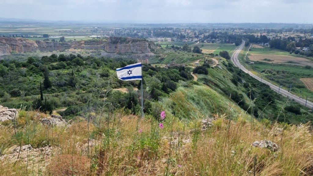
It marks a lookout point, established in memory of Captain Moran Vardi, who was killed battling terrorists in the area of Shechem (Nablus) in 2004.
Thanks to this memorial site, the final steps down Hotem HaCarmel were, in fact, a staircase with a handrail.
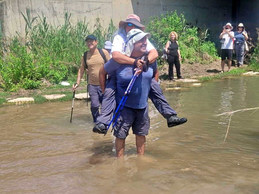
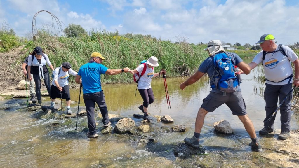
A message from the organizers the day before the hike ensured we came prepared with sandals or spare shoes for a water crossing.
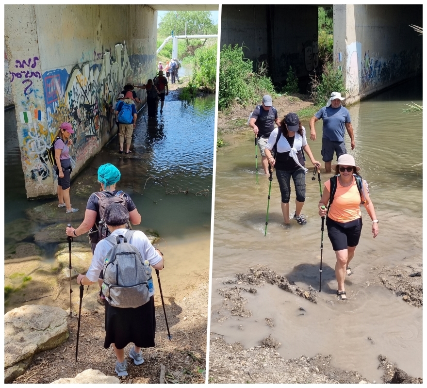
But Eyal and Limor had other ideas.
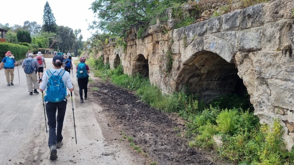
As the trail passes Beit Hananya and heads west toward the sea, it follows the Roman aqueduct commissioned by King Herod, and later expanded by Emperor Hadrian, to supply water to Caesarea.
SURPRISE! Another water crossing — this time Nahal Ada. Fortunately, most of us were able to cross on the rocks and remain dry, as we had already put our hiking shoes back on.
The walk through the Arab coastal town of Jisr a-Zarka was NOT a highlight. While local passersby and shopkeepers greeted us with pleasantries, the streets and sidewalks are strewn with litter. Gardens are unkempt, and building codes seem to not exist.
When we reached the seashore, hiking-mate Ron pointed out that we have now completed all the segments on the Israel Trail stretching from the start at Tel Dan to the Mediterranean Sea.
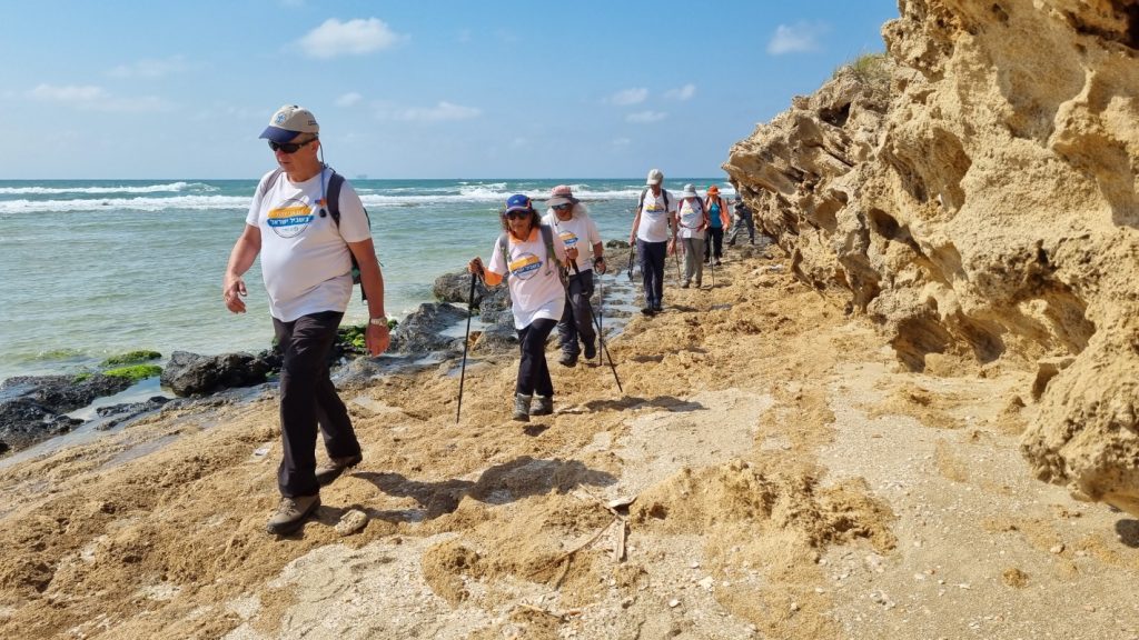
The last few kilometers were an easy hike along the shore.
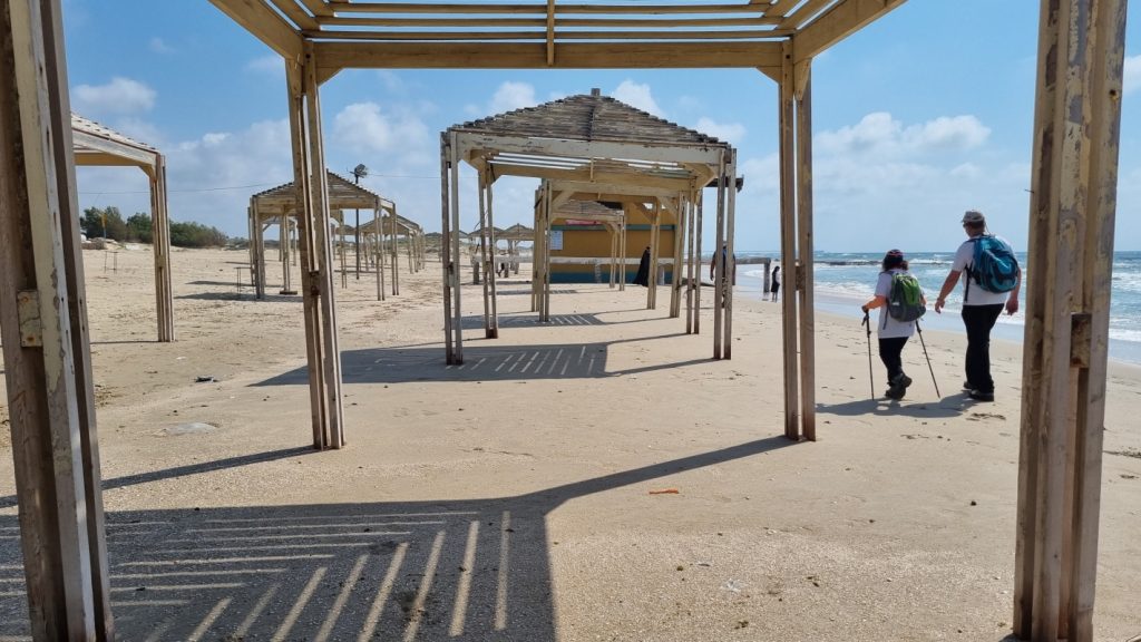
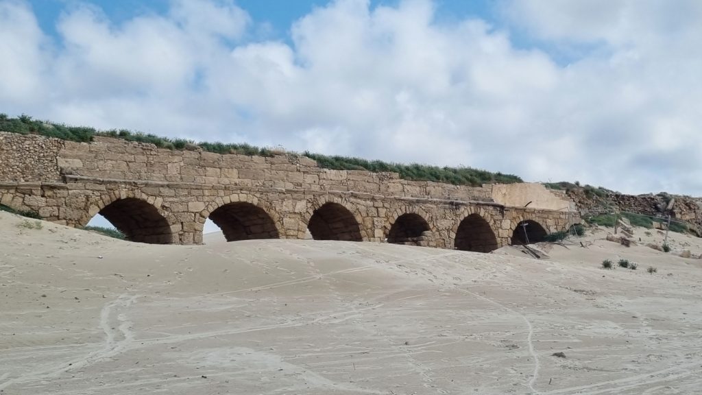
Photo album: Israel Trail Hike 2024-04-11
Memories
I hiked this segment with Yuval and friends in October 2009.
My blog: Meir Sh’feya Youth Village to Bet Hananya