Segment 24 – Horvat Hanot to Azeka Junction *
The feedback after our last hike on the Israel Trail a month ago encouraged me to organize another outing as soon as possible. The selected date, during the Hanukkah holiday, was problematic for some and convenient for others. I decided to go with the earlier date, and save the following one as a rain date. Turned out there was no need to postpone; the weather was ideal for hiking. But since we’ve not yet had any significant rainfall this year, the trail was dry, and I spent much of the day searching for some color to photograph.
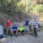
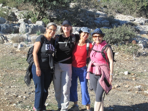
Our hiking group consisted of long-time friends, whose friendships go as far back as school days and army service (aside from Miri and Shlomo being siblings). A chatty bunch. Delightful company.
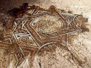
Before starting the hike, I took the group over to Horvat Hanot to show them the mosaic floor, which is kept covered by sand for preservation.
Unfortunately, no brooms were at the site, so we were unable to expose more than a tiny patch of mosaic. Otherwise, we might have seen this, for example:
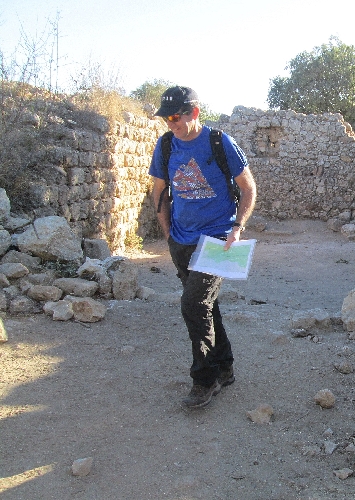
Before we turned onto the trail, I made a point of telling everyone that Yuval is responsible for following the map, but that everyone needs to keep an eye out for the trail blazes. I even stopped at an Israel Trail blaze to point it out to everyone. OK, fine. We all know what the blaze looks like.
We began hiking at a nice pace, and immediately became engrossed in conversations, while enjoying the scenery …
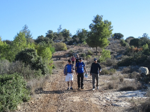
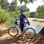
… and even stopping so that I could get into at least one photo for the day.
But after about half an hour, and some 2 kilometers into the trail, Yuval says, “We’re not on the trail.”
Huh?
We should have been walking on the Emperor’s (Roman) Road:
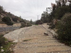
But we’d missed a turn almost at the start, and had been hiking along a very pleasant trail with scenic views, parallel and slightly north of the Israel Trail. It now occurred to us that we had not seen any trail blazes for quite a while.
I was miffed to have missed the highlight of this trail segment, and was ready to turn back, but was dissuaded by Yuval. He determined we were just north of map-point #2 of the segment (a reconstructed olive press), and proceeded to lead us through the woods, and down a slope towards Route 375.
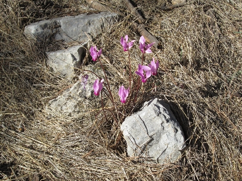
My only compensation was spotting this bright clump of cyclamen in those woods, glowing against the dry forest floor.
Upon reaching the parking lot next to the olive press, at the end of the Roman road, we reconnected with the Israel Trail. Continuing on, we soon reached a junction with the trail we’d been on earlier. There we stopped for morning brunch.
After breakfast, I caught another brief glimpse of some bright, new-growth, color.
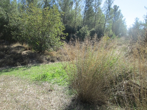
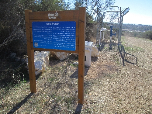
Alongside the trail, just before it crosses Route 3855, I was pleasantly surprised to discover a drinking-water fountain especially meant for Israel Trail hikers.
Note the walking stick in Miri’s left hand. This is where it got left behind.
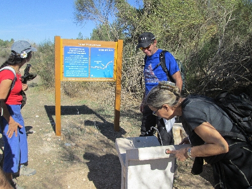
Trail blazes were clearly visible for the entire hike, except when it came to crossing Route 3855. The passageway tunnel was not marked, so Yuval motioned for me to climb up and cross over the road. But everyone else behind me went easily and safely through the tunnel.
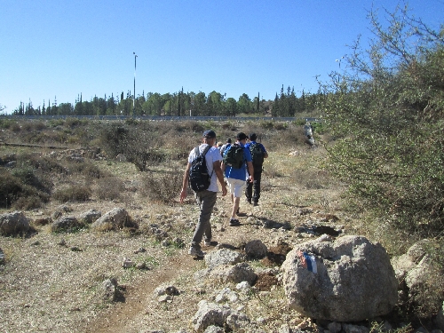
The walking and talking continued, while we mostly descended …
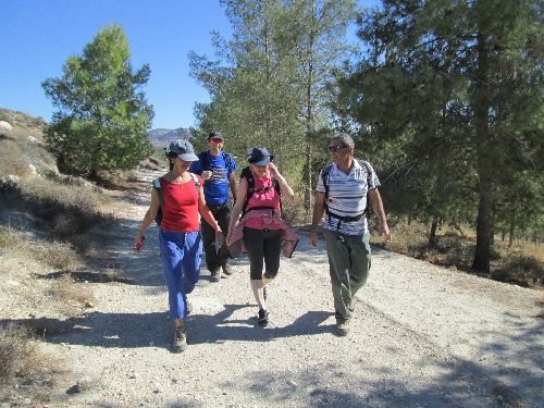
… but also ascended, and enjoyed some beautiful vistas …
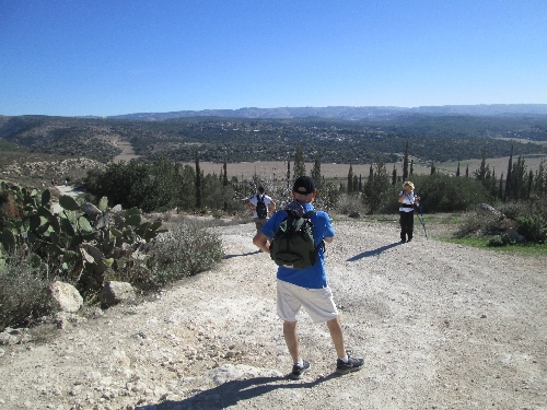
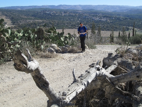
… even if it is all so dry, so very dry.
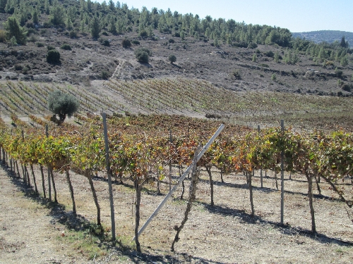
After passing around Kibbutz Netiv Halamed Hey, I had my second, and final, photo op of the day.
Here we encountered here a couple “shvillers”, who had become separated from their friends, having followed old/misleading blazes towards the kibbutz. That wasn’t surprising, since that object we are sitting on has a blaze pointing in the direction behind us, which is NOT the Israel Trail.
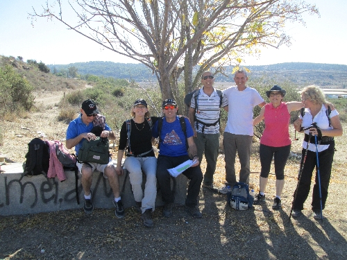
Having completed the final climb of the day, we stopped for our last rest/snack break.
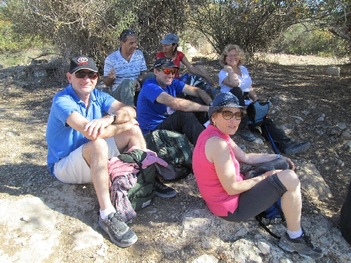
And more chatting, of course.
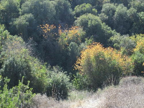
And I managed to catch one more splash of local autumn color.
The pre-hike estimate and the actual distance covered were both about 14 kilometers. We completed the hike in just five hours. I’d like to say it was physically an easy route, but I really think the camaraderie made it so.
See the complete set of today’s photos on my Flickr site.
